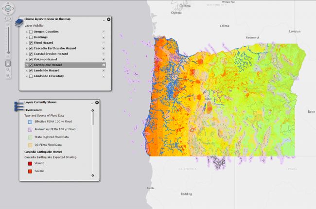
The Oregon Department of Geology and Mineral Industries statewide geohazard viewer, HazVu, provides a way to view a range of geohazards in the state of Oregon,including:
- Earthquakes - active faults, historical epicenters, expected shaking, and liquefaction hazards
- Tsunami inundation hazard
- Volcanoes
- Landslides - historical landslides and landslide susceptibility
- Floods
- Coastal erosion
The map also includes public buildings so that hazards can be assessed for these locations.
Click here to access the HazVu interactive map

