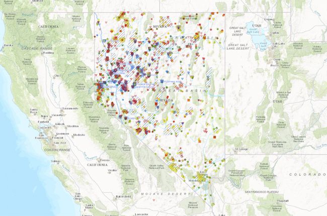
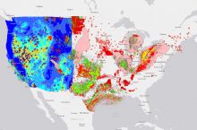
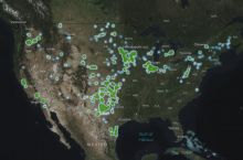
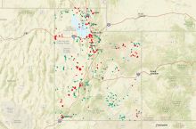
The Nevada Bureau of Mines and Geology's Great Basin Geothermal Energy web app provides a large amount of information on geothermal energy in Nevada. The map includes:
- Geothermal sites of interest: wells and clusters
- Borehole temperature data
- Transmission lines
- Power plant facilities
- Well logs
- Direct use sites
- Thermal springs
- Bureau of Land Management geothermal leases
This interactive map also provides a huge amount of regional information for the Great Basin, extending into California, Utah, Oregon, Idaho, and Arizona. The Great Basin layers include information on geothermal favorability, geothermal exploration projects, groundwater distribution and chemistry, geophysical data, volcanic vents, and a geological map
Users can click on individual features of interest for more information. Some of the data sets can be downloaded for further use and analysis.
Click here to access the interactive geothermal map.

