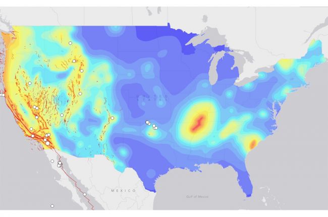
The U.S. Geological Survey's Latest Earthquakes viewer shows the locations and magnitudes of recent earthquakes around the world. Users can also search the archives for global earthquakes dating back to the early 20th century. Maps can be generated for specified ranges of time, area, and earthquake magnitude.
Additional layers on the map include plate boundaries, major U.S. faults, and the USGS earthquake hazard forecast map for the United States.
Click here to access the USGS Latest Earthquakes viewer.
Source: U.S. Geological Survey

