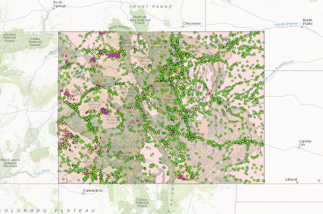
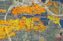
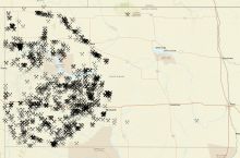
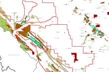
The Colorado Division of Reclamation Mining and Safety's AUGER map provides information on active and historic mines in Colorado. The interactive map shows:
- Active and inactive construction and hardrock mines with information on permitting, size, commodities, fees, land use, and more
- Coal permit boundaries
- Alluvial and bedrock aquifers
- Geology
- Hydrography
- Land cover
Users can click on individual points for more information. Layers can be overlain on each other so that users can see the relationships between different features.
Click here to access the AUGER map of Colorado's mines.

