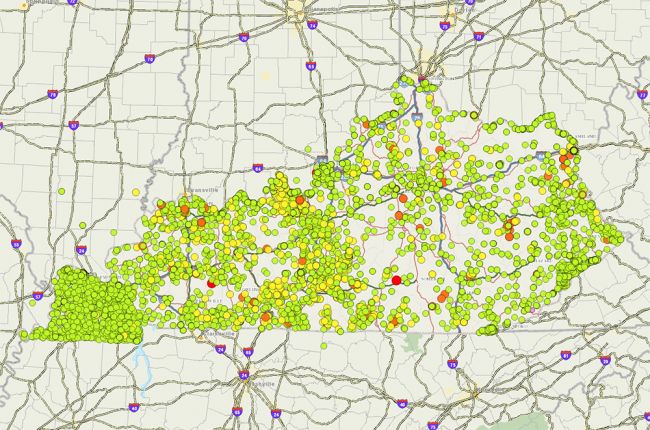
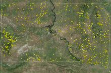
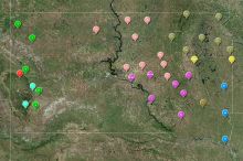
The Kentucky Geological Survey's interactive map provides a range of groundwater quality information for the state of Kentucky with data going back to the 1930's.
Users can modify the map to explore various groundwater pollutant types, regulatory programs, and more.
Click here to access the Kentucky groundwater quality interactive map
Source: Kentucky Geological Survey

