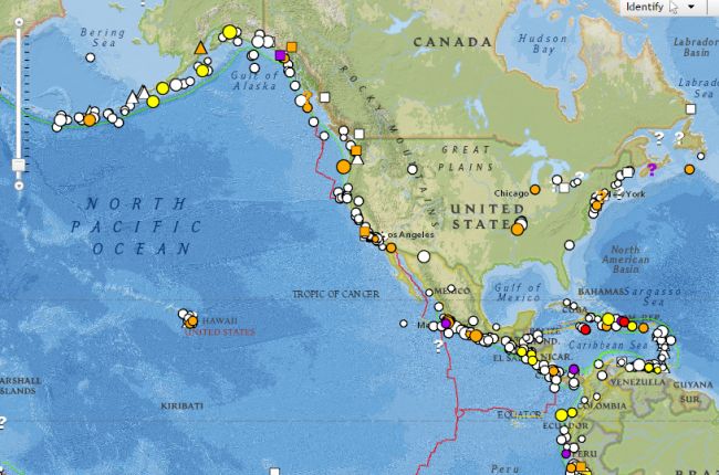
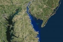
The National Oceanic and Atmospheric Administration's natural hazards viewer shows a variety of recent and historic natural hazards around the world. The interactive map provides data for a range of natural hazards, including tsunamis, volcanic eruptions, and earthquakes. Users can select individual hazards to learn more about the date of occurrence, location, severity, economic impact, and social impact.
Click here to use the NOAA natural hazards viewer

