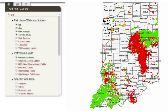
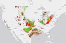
The Indiana Geological and Water Survey's Petroleum Database Management System provides an interactive map of more than 70,000 petroleum-related wells in the state of Indiana. The map includes:
- Oil and gas wells (including gas storage and service wells)
- Oil and gas fields (including gas storage)
- Major rivers and streams
- Information on samples, cores, logs, and reports that the Indiana Geological Survey can make available
Users can click on individual features of interest for more information, including well locations, operators, lease names, and relevant dates.
Click here to access the Petroleum Database Management System interactive mapping tool

