Note: Surf Your Watershed was recently decommissioned. EPA is working on a replacement application. We will direct users to that application when it becomes available.
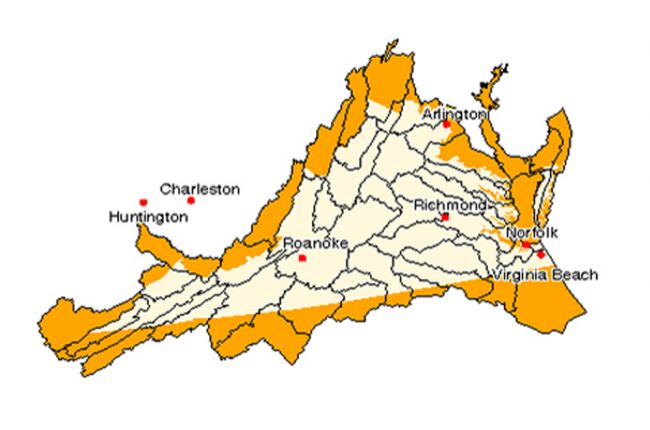
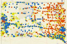
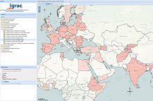
The Environmental Protection Agency's Surf Your Watershed interactive map allows you to find water quality monitoring data and assessments of watershed health at the state and local levels. The map also provides a portal to information about citizen groups working to protect the water quality of specific watersheds.
Click here to use the Surf Your Watershed interactive map.

