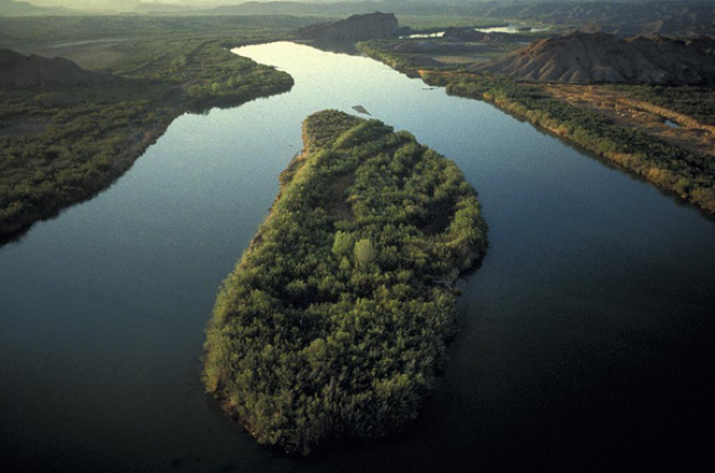
"The depth to the water table can change (rise or fall) depending on the time of year. During the late winter and spring when accumulated snow starts to melt and spring rainfall is plentiful, water on the surface of the earth infiltrates into the ground and the water table rises. When water-loving plants start to grow again in the spring and precipitation gives way to hot, dry summers, the water table will fall because of evapotranspiration.
The most reliable method of obtaining the depth to the water table at any given time is to measure the water level in a shallow well with a tape. If no wells are available, surface geophysical methods can sometimes be used, depending on surface accessibility for placing electric or acoustic probes. Data bases containing depth-to-water measurements made in the past are maintained by the USGS. Your state government probably maintains a data base of drillers' logs that have water-levels recorded when a well was drilled, and hydrologic consultants often have reports that contain water-level data from shallow boreholes. Consulting any or all of these sources is a good first step in finding out the depth to the water table."
Learn More
- USGS Groundwater Watch (Website), U.S. Geological Survey
Hub for real-time and recently obtained groundwater information across the United States, including groundwater levels, spring monitoring sites, long-term groundwater data, and groundwater responses to climate.
- Groundwater Levels for the Nation (Website), U.S. Geological Survey
Searchable database of groundwater levels across the United States based on over 860,000 measurement sites.
- Estimated Depth to Ground Water and Configuration of the Water Table in the Portland, Oregon Area (Report), U.S. Geological Survey
2008 study providing a detailed example of how water table determination can be conducted on a range of scales, and how this is used for issues such as water planning and civil engineering projects.

