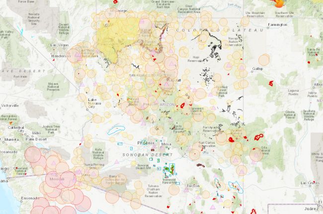
The Arizona Geological Survey hosts the Natural Hazards in Arizona viewer, which is an interactive map of natural hazards in Arizona, including:
- Earthquakes since 1852
- Over 8,000 landslide features
- Active faults
- Earth fissures
- Flood potential
- Fire risk index
The map is searchable by street address so that hazard information can be quickly and easily found for specific locations. Links are available for further information and mitigation tips for each hazard type, and all of the data can be downloaded for further use and analysis.
Click here to use the AZGS natural hazards map
Source: Arizona Geological Survey

