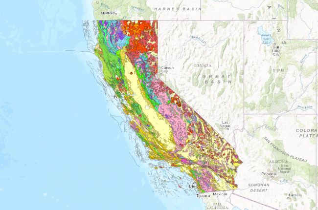
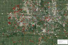
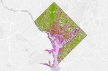
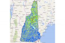
The California Geological Survey's interactive geological map allows users to identify the different rock types and fault lines throughout California.
In addition to the web viewer, the GIS data can be downloaded for further use.
Click here to use the California geological interactive map
Source: California Geological Survey

