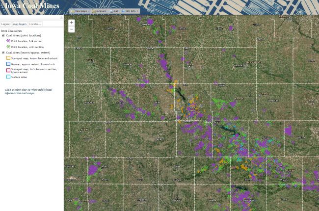
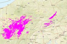
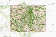
The Iowa Department of Natural Resources's (DNR) interactive map of coal mines in Iowa shows the locations of coal mines and mine entrances throughout Iowa, and also has the option to search the map by street address. Users may click on the map to access information about mine use dates, type, mining method, entrance type, and links to original mine maps.
Click here to use the Iowa DNR's interactive map of coal mines in Iowa

