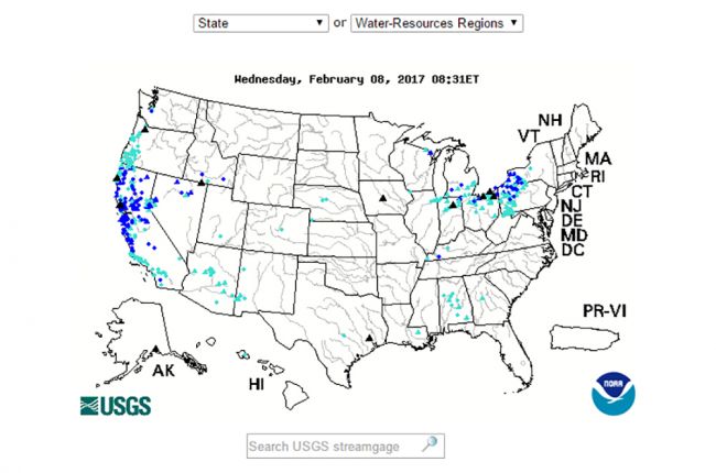
The U.S. Geological Survey's WaterWatch Flood Map allows you to find areas currently experiencing flood and high flow conditions across the United States. The map is updated daily and provides the option to search flood conditions by state or water-resources region.
Click here to use the WaterWatch flood map.

