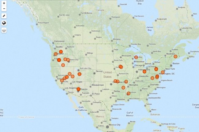
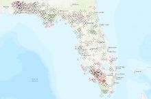
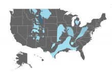
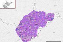
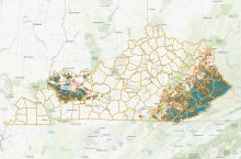
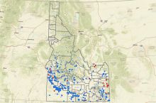
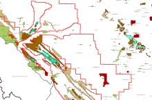
The National Geothermal Data System's interactive geothermal map provides a portal to geothermal information across the United States. Users can search for locations or keywords related to geothermal data and the map will display a catalog of documents and datasets that provide information about geothermal resources across the U.S.
Click here to use the National Geothermal Data System map
Source: National Geothermal Data System

