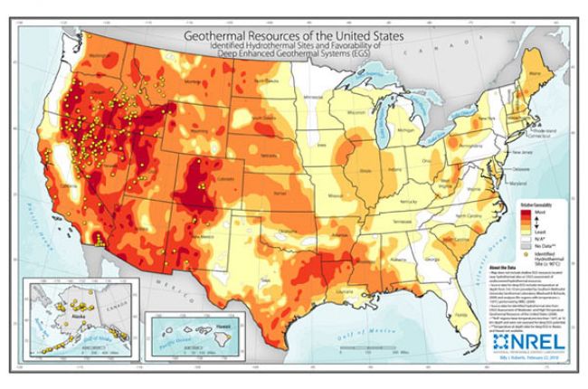
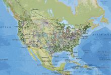
The National Renewable Energy Laboratory's (NREL) map of potential geothermal resources across the U.S. shows the potential for development of deep enhanced geothermal systems (EGS), as well as identified hydrothermal resources. Color shading shows the potential for deep enhanced geothermal systems, or systems which use technology that is currently being developed to extract energy from dry rocks deep below the surface. Black dots indicate sites with identified hydrothermal resources (naturally occurring shallow hot water reservoirs). The map does not show sites with potential for enhanced geothermal systems at shallow depths.
Click here to access NREL's range of geothermal energy maps.
Source: National Renewable Energy Laboratory
Data for deep EGS potential are from Southern Methodist University Geothermal Laboratory and NREL analyses. Data for identified hydrothermal sites are from the U.S. Geological Survey.

