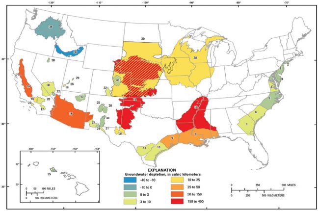
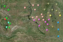
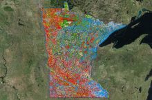
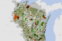
The U.S. Geological Survey's (USGS) map of groundwater depletion shows the cumulative depletion of groundwater for 40 aquifer systems across the U.S (excluding Alaska). The map depicts depletion over the time period of 1900 to 2008 and is measured in cubic kilometers.
Click here to go to the USGS groundwater depletion webpage
Source: USGS - Water

