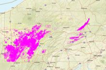
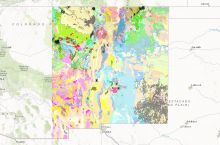
The West Virginia Geological and Economic Survey provides an interactive map of underground and surface coal mining activity in West Virginia. The map shows areas of active and historical coal mining in both underground and surface mines, with separate colors for auger and highwall mining.
Users can zoom in on mining areas and retrieve information for individual mines, including historical mine maps for many locations. Users can use the underground mine search feature to find underground mines by company or seam name. For more detailed information on the status of active coal mines and reclamation areas, you can use the West Virginia Department of Environmental Protection's Mining Data Tools.
Click here to access the WVGES interactive map of coal mines in West Virginia.


