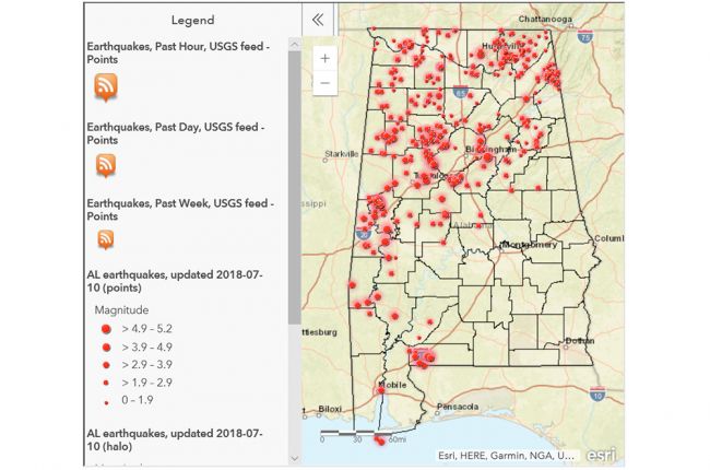
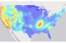
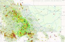
The Geological Survey of Alabama provides an online interactive map of earthquake information for Alabama. The map provides the locations, dates, and magnitudes of historical earthquakes, as well as highlighting recent earthquakes.
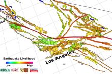
Known surface faults and interpreted subsurface faults are also shown, allowing users to see the relationships between different identified faults and historical earthquakes.
Click here to access the interactive earthquake map of Alabama.
Source: Geological Survey of Alabama

