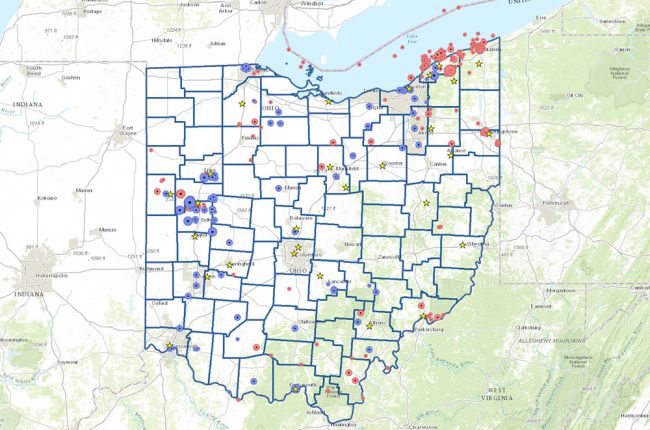
The Ohio Department of Natural Resources Division of Geological Survey provides an interactive map of earthquake epicenters and magnitudes for past earthquakes in Ohio. For each earthquake, users can click on the symbol to find out specific information and access a full earthquake report. The map also uses star icons to indicate the location of seismic stations throughout Ohio. By clicking on the star icon, users can learn more about where the seismic station is housed and who the designated contact is for each station.
Click here to access the Ohio Earthquake Epicenters interactive map.
Source: Ohio Department of Natural Resources Division of Geological Survey

