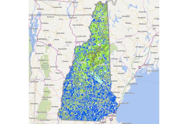
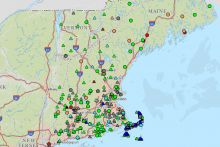
The University of New Hampshire, in collaboration with the New Hampshire Office of Energy and Planning, maintains the GRANITView application. This application makes a large amount of environmental and other geoscientific information available in interactive map form, including:
- Water resources
- Flood hazards
- Soils
- Landcover / land use
The map allows users to select multiple layers that can be overlain on each other. By doing this, users can see how different features are related. Additional layers include information on transportation, wildlife, conservation, and invasive plant management.
The map also allows users to download the data for further use and analysis.
Click here to access the GRANITView interactive map
Sources: University of New Hampshire; New Hampshire Office of Strategic Initiatives

