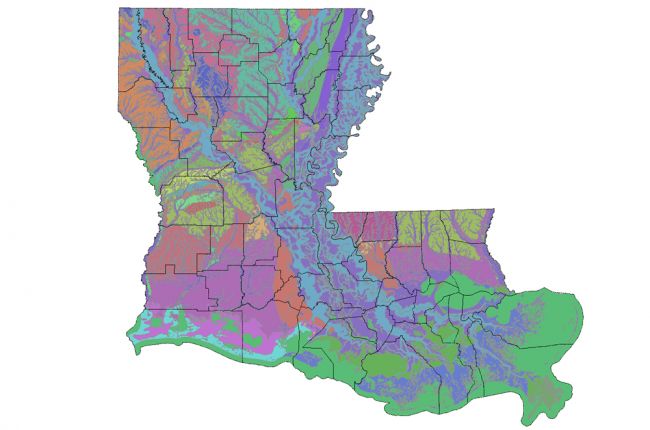
The Louisiana Department of Environmental Quality's Interactive Mapping Application provides information on Louisiana's geology and water resources in interactive map form, including:
- Air and water quality monitoring
- Surface geology
- Aquifers
- Hydrology
- Soils
Users can access local information with additional details by clicking on areas of the map or entering GPS co-ordinates.
Note: this application may take a few minutes to load.
Click here to access the Louisiana DEQ's Interactive Mapping Application.

