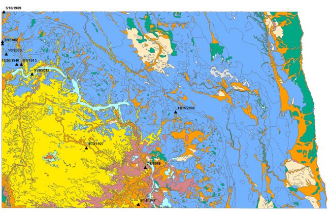
The North Dakota State Government's North Dakota Hub Explorer provides a large amount of information on North Dakota's geology and natural resources in interactive map form, including:
- Surface and bedrock geology
- Earthquake locations and dates
- Hydrography - aquifers, watersheds, and water data sites
- Abandoned mines
- Waste management sites
The map allows users to select multiple layers that can be overlain on top of one another. By doing this, users can see how different features are related. The map also contains a large amount of non-geoscience information, in areas such as ecology, communications, transportation, governmental boundaries, and emergency services.
Click here to access the North Dakota Hub Explorer.
Source: North Dakota State Government

