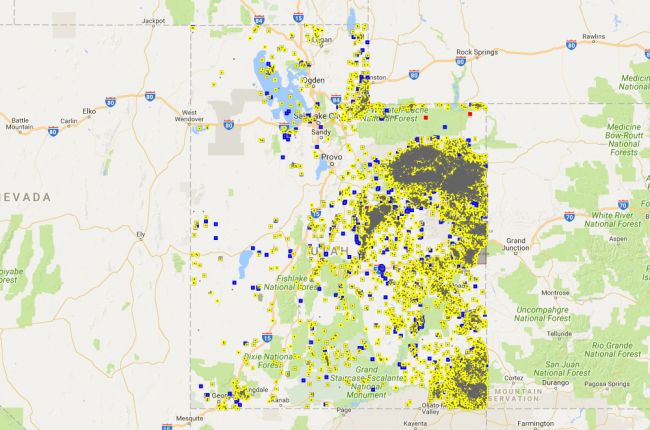
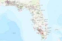
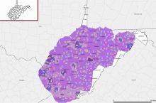
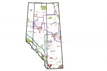
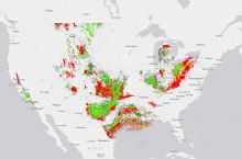
The Utah Division of Oil, Gas and Mining provides an interactive map of oil and gas resources in Utah. The map includes:
- Oil and gas wells, including producing wells, test wells, shut-in wells, storage wells, and temporarily abandoned wells
- Simplified borehole paths (well tracks) and bottom hole locations
- Oil and gas units and fields
- Water supply and disposal wells
- Underground Injection Control permits
- Surface facilities and permits
- Applications for permits to drill (APDs)
Detailed well logs and full well files with historical data and communications can be freely accessed and downloaded for most wells, with production data available for some. Further information on Utah's oil and gas wells can also be obtained from the Division's Live Data Search tool.
Click here to access the interactive map.

