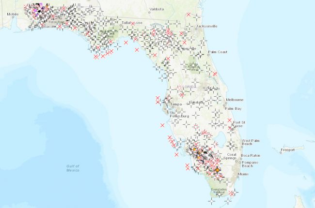
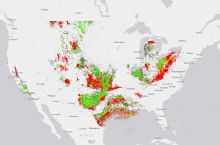
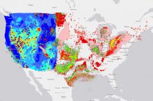
The Florida Geological Survey hosts an interactive map of permitted oil and gas wells in the state.
Information is searchable by address, and sites are organized into the following categories:
- InjectionProducer
- Saltwater Disposal
- Plugged & Abandoned
- Dry Hole
- Junked
- Never Drilled
- Temporarily Abandoned
Clicking on a specific site gives information such as the well field name, operating company, and permit number. Data sets can be downloaded for further use and analysis.
Click here to access the interactive map.
Source: Florida Geological Survey

