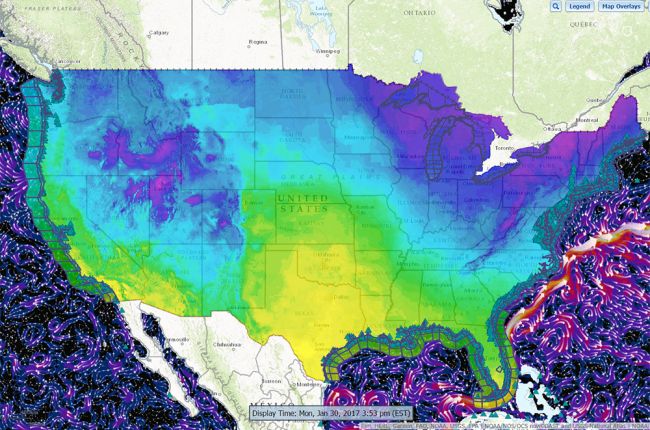
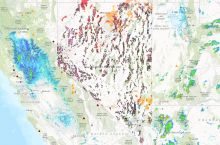
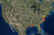
The National Oceanic and Atmospheric Administration's nowCOAST web app provides real-time observations, forecasts, and warnings for a wide range of coastal and inland weather, water, air, and hazard issues. Available layers and services include:
- Weather forecasts
- Hour-by-hour forecasts for the next week for any U.S. coastal or inland location, including temperature, humidity, wind speed and direction, cloud cover, rain and snow totals, and probability of precipitation
- Links to more detailed forecasts for all areas
- Detailed marine weather for beaches, coastal waters, offshore waters, and high seas areas
- Current weather radar, plus weather radar information for the preceding four hours
- Precipitation accumulation for the preceding 1, 3, 6, 12, 24, 48, and 72 hours
- Tropical cyclone tracks (both forecast and observed) and potential storm surge flooding
- Water currents, speed, level, and temperature for the Great Lakes, estuaries, coastal waters, and global oceans
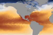
- Sea surface temperatures
- Tide predictions
- River level forecasts
- Air quality forecasts for cities
- Thunderstorm and fire weather outlooks
- Links to individual observation sites across the U.S. and North and Central America:
- Weather stations
- Coastal/lake/ocean platforms
- River gages
- Water quality stations
- Air quality stations
- Upper-air stations
- Weather radars
- Wind profilers
Additional layers include algal bloom forecasts, global aviation weather forecasts, and links to more detailed analyses of a wide range of conditions, as well as an entire version of the website especially for mariners.
Click here to access the nowCOAST web app.

