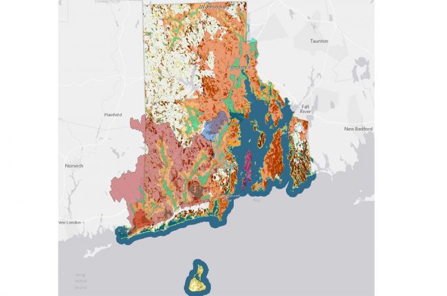
The Rhode Island Department of Environmental Management's Environmental Resource Map provides a large amount of information on Rhode Island's geology and natural resources, including:
- Bedrock geology and glacial deposits
- Hazards - floodplain mapping, stormwater areas, and coastal inundation projections
- Water resources
- Waste management
- Soils
The map allows users to select multiple layers that can be overlain on each other at different levels of transparency. By doing this, users can see how different features are related. Additional layers include information about ecology and conservation.
Click here to access the RI DEM's Environmental Resource Map

