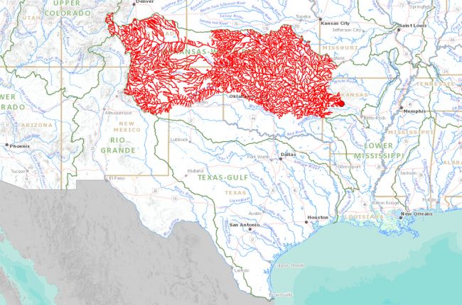
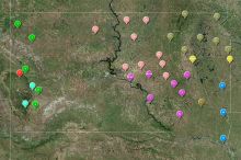
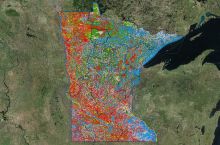
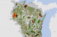
The U.S. Geological Survey's Streamer application allows users to explore where their surface water comes from and where it flows to. By clicking on any major stream or river, the user can trace it upstream to its source(s) or downstream to where it joins a larger river or empties into the ocean.
Real-time streamflow and weather data can also be overlain on the map, allowing users to see the relationships between weather, geography, and streamflow rate. Additional information includes the total number and mileage of any selected streams, the number of U.S. states and counties involved, and the total population living nearby. A report containing all this information and the map can be downloaded for further use.
Click here to access the USGS Streamer application.
Source: U.S. Geological Survey

