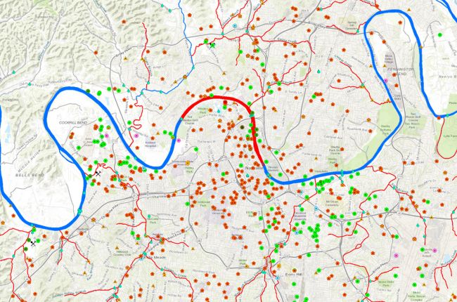
The Tennessee Department of Environment and Conservation provides an interactive map service through which users can find information on water quality assessments across the state. Information on monitoring sites, permitting, dams, siltation, streams and waterbodies, and habitat impairment, are all available through the map. Users can click through to find more information on specific locations.
Click here to access the TN DEC interactive map.
Source: Tennessee Department of Environment and Conservation

