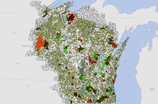
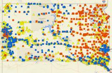
The Wisconsin Department of Natural Resources' Water Condition Viewer provides a huge amount of information on water quality in Wisconsin. The map includes:
- Streams and lakes that have been or are being evaluated or monitored
- Data relevant to the Clean Water Act, including ecological data, phosphorus and chloride levels, temperature, E. coli, and chlorophyll
- Impaired waters
- Total maximum daily load (TMDL) categories
- Monitoring projects, sites, and data
- Planning information for statewide and local water quality management plans and projects
- Current and proposed management actions (designated uses, citizen monitoring, remediation, and much more)
- Watersheds, basins, streams, lakes, wetlands, and soils
Users can click on specific monitoring sites to download data and reports for further use.
Click here to access the interactive map.

