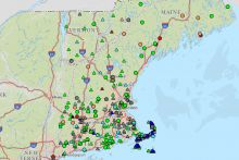
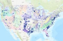
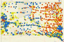
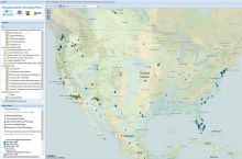
The U.S. Geological Survey’s National Water Information System (NWIS) created an interactive tool that maps water resources data at over 1.5 million sites across the country. The search tool allows the user to find sites by street address, location name, site number, state/territory, and watershed region. The sites are sorted into five main categories:
- Surface water, including lakes, streams and rivers
- Groundwater, including wells
- Springs
- Atmospheric
- Other, which includes land sites
Sites within the categories listed above can be narrowed further through the type of data that are available at each site. The data categories include:
- Any data
- Instantaneous data
- Water-quality data
- Peak data
- Measurements
- Annual Report
Clicking on a site opens a new web page displaying site information and the data types detailed above. The map also provides overlay options that display watershed boundaries, principal aquifers, and USGS offices across the country.
Click here to access the interactive map.
Source: U.S. Geological Survey


