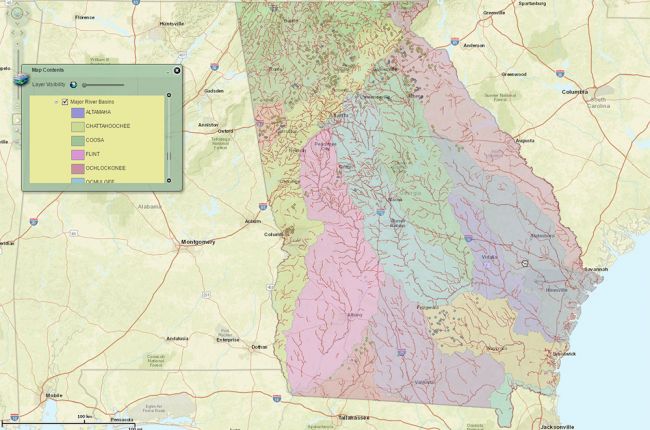
The Georgia Soil & Water Conservation Commission's Interactive Mapping Experience provides a large amount of information on water and conservation in Georgia. The interactive map includes information on:
- Potential water supply reservoirs
- Dams, streams, drainage areas, and ponds
- The Agricultural Water Metering Program
- Mobile Irrigation Lab projects
- Water monitoring sites
- Groundwater recharge
The map also includes information on political boundaries, allowing users to see which features are relevant to each district.
Click here to access the GSWCC's Interactive Mapping Experience.

