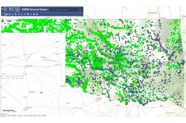
The Oklahoma Water Resource Board's General Viewer provides a large amount of information on water resources in Oklahoma. The interactive map includes:
- Water rights (surface and groundwater)
- Water and weather monitoring information
- Groundwater wells and levels
- Surface and groundwater standards
- Location and extent of lakes, streams, floodplains and wetlands
- Water financing information
- Aquifers
Additional layers include surficial geology, state legislative districts, and aerial imagery. Layers can be overlain on one another so that users can see how different features are related.
Click here to access the OWRB General Viewer.
Source: Oklahoma Water Resources Board

