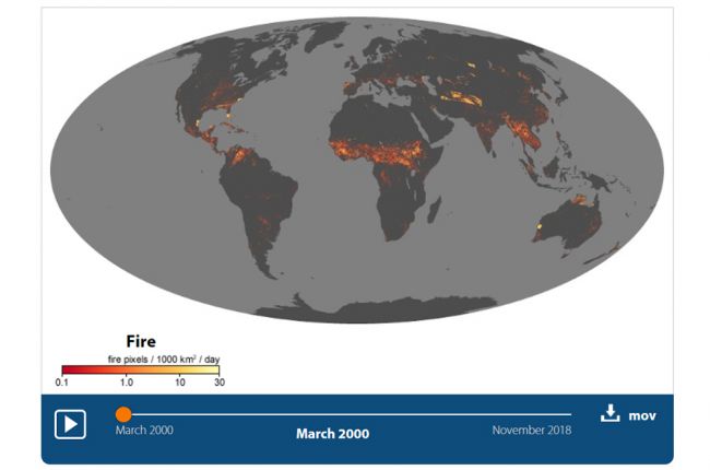
NASA uses observations from the Moderate Resolution Imaging Spectroradiometer (MODIS) on NASA's Terra satellite to display fires around the globe. This map-video shows the location of actively burning fires on a monthly basis from March 2000 to November 2018.
Click here to access NASA's wildfire map.
Source: NASA

