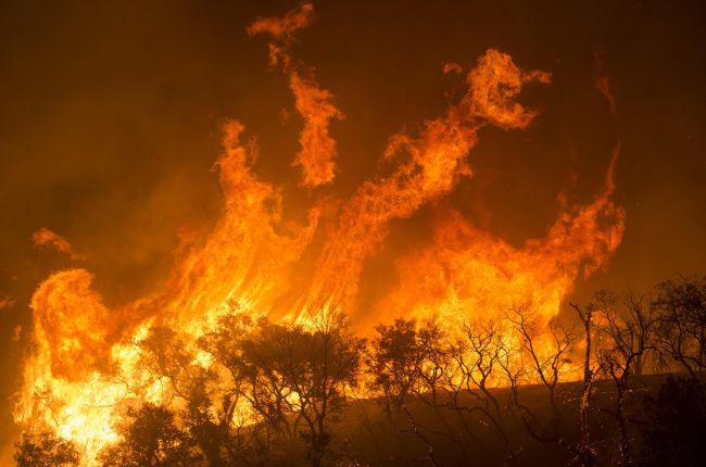
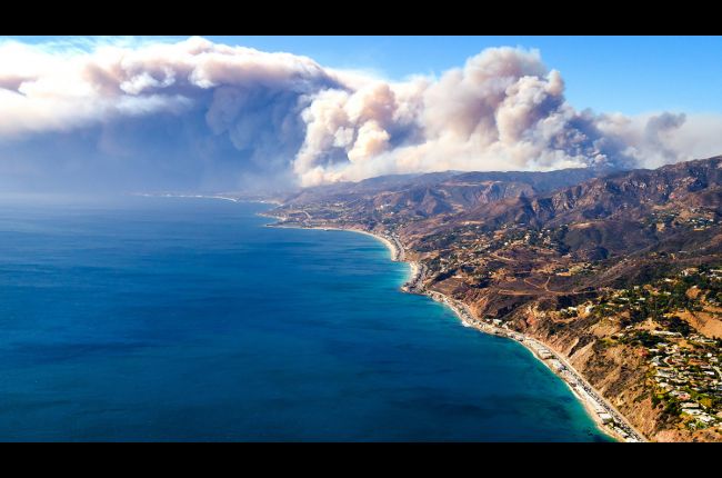
Wildfires are unplanned fires that burn in natural areas, such as grasslands, shrublands, forests, or other environments, including wildland areas where people live.1 They can start from both human and natural causes, such as lightning, and they affect every state in the U.S. Nearly 85 percent of U.S. wildfires are from human causes, including uncontrolled campfires, burning debris, sparks from malfunctioning equipment, discarded cigarettes, and arson, accounting for 44% of the total area burned across the U.S.2,3
While fires are a natural and necessary part of many ecosystems, wildfires can start or spread in areas where people live, threatening both lives and property. Wildfires are most likely to occur during dry periods, when easily combustible material is abundant, and during windy weather conditions, which allow fires to burn hotter and spread more rapidly.1 In contrast to wildfires, prescribed fires (also called “controlled burns”) are the careful and intentional use of fire under a particular set of weather and fuel conditions to achieve natural resource objectives. Prescribed fires are used extensively in the Midwest and Southeastern U.S. and increasingly in the Western U.S. for forestry and agricultural land management.
Why do wildfires matter?
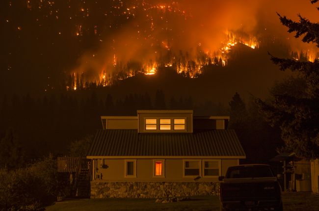
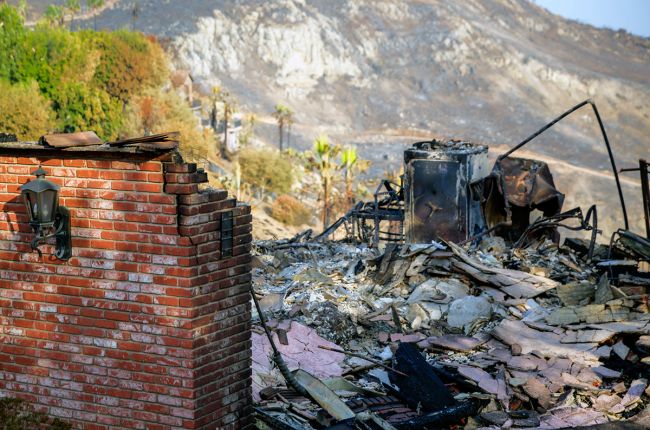
As of 2010, nearly 44 million homes in the United States were in the wildland-urban interface,4 an area where residential development meets or intermingles with wildland vegetation. The number of new houses in these areas increased 41% from 1990 to 2010.4 As people move increasingly into the wildland-urban interface, they may be more at risk from the impacts of wildfires.4 When wildfires occur, there are both direct impacts from the fire itself, such as the loss of vegetation and property and displacement of people, and indirect impacts, such as decreased air quality, increased risk of flooding and debris flows in burn areas, disruptions to transportation or electricity infrastructure, and degraded water quality.
The frequency of large fires and wildfire damage in the U.S. has increased since the 1980s, coinciding with increased drought and temperatures, particularly in the Western U.S.5,6 In parts of both the Eastern and Western U.S., fire seasons have increased in length in recent decades due to warming temperatures and drier conditions.5 Human activities provide ignition sources year-round, not just during the dry season or periods of intense lightning, which has expanded the fire season far beyond its historical length.2,5 U.S. federal agencies spent a record $2.9 billion on wildfire suppression activities during a particularly severe fire season in 2017.7,8
How does geoscience inform decisions about wildfires?
Geoscience helps to inform decisions before, during, and after wildfires. Meteorologists observe weather patterns and issue weather forecasts that warn when “fire weather” is imminent, which allows land managers and state and local agencies to be alert for hot, dry, and/or windy conditions that may exacerbate wildfire occurrence and severity. Meteorologists can also help predict where smoke is likely to affect public health to improve prescribed fire programs and to aid in wildfire response. Fire scientists study the relationships between fire and environmental conditions to improve prescribed fire program efficacy as well as wildfire preparedness and response. Climatologists and paleoclimatologists study the frequency of past fires and droughts to provide information on the likelihood of future severe droughts, which can exacerbate wildfire conditions. Remote sensing from satellites and lidar provides data on where fires are located, what kind of vegetation is burning, and the topography of terrain where a fire is burning – all critical information needed to inform the response to wildfires and monitor prescribed fires, particularly when they occur in remote or inaccessible areas. After a wildfire, geoscientists study the effects of the fire on soil, water quality, vegetation, and ecosystems, which can also help predict the risk from post-wildfire hazards like debris flows or mudslides.
Learn More
- Fire Weather portal (Website), National Oceanic and Atmospheric Administration
Web portal to access wildfire forecasts and potential, current large wildfire incidents, and seasonal drought outlooks - Wildfire Weather Safety (Website), National Weather Service.
Information about how to understand fire weather notifications, tips for wildfire preparedness, and links to more resources - Joint Fire Science Program (Website)
Website with federal interagency fire science information and resources, as well as funding announcements. Includes links to the 15 U.S. fire exchanges in the Fire Science Exchange Network. - National Interagency Fire Center (Website), U.S. Forest Service and U.S. Department of Interior.
Web portal with information on wildfire statistics, federal interagency coordination on wildfires, prevention tips and educational materials, and numerous programs related to wildfire prevention and mitigation - Fire Management Today (Publication), U.S. Forest Service
A freely available online publication highlighting information and current developments in wildland fire management for the benefit of the wildland fire community
References
1 Wildfires Ready.gov
2 Human-started wildfires expand the fire niche across the United States Proceedings of the National Academy of Sciences
3 Wildfire Causes and Evaluations National Park Service
4 Rapid growth of the US wildland-urban interface raises wildfire risk Proceedings of the National Academy of Sciences
5 Chapter 8: Droughts, Floods, and Wildfires, Fourth National Climate Assessment U.S. Global Change Research Program
6 Climate Change Indicators: Wildfires Environmental Protection Agency
7 Wildland Fire U.S. Department of Agriculture
8 Federal Firefighting Costs (Suppression Only) National Interagency Fire Center

