In this section you will find materials that support the implementation of EarthComm, Chapter 1: Chapter Challenge.
Reference
Volcanic Eruptions and Earthquakes
Frequently Asked Volcano Questions, USGS
Overview of the causes of volcanic eruptions and the effects of volcanic eruptions on the Earth system.
Cascades Volcano Observatory, USGS
Comprehensive site that provides maps, graphics, images, and text relating to volcanoes and volcanic eruptions.
Earthquakes, USGS
This online publication is an excellent overview of earthquakes and includes many graphics and photos.
Frequently Asked Earthquake Questions, USGS
Covers a wide range of topics that give a general overview of earthquakes. Additional links are provided if more information is desired.
Where Are the Latest Earthquakes Happening?, USGS
Interactive map showing earthquake occurrences in the United States and worldwide.
Plate Tectonics and Volcanic Eruptions and Earthquakes
The Science Behind Earth's Structure and Earthquakes, USGS
Examines the connections between earthquakes and plate tectonics.
"What Drives the Plates?" from This Dynamic Earth, USGS
Reviews the theories behind convection cells as the driving force of plate tectonics and also looks at whether these mechanisms operate now, or in the past, on other planets.
Plate Tectonics: The Mechanism, Museum of Paleontology, University of California at Berkeley
Describes some of the features of plate tectonics.
Understanding Plate Motions, from This Dynamic Planet, USGS
Reviews the types of plate boundaries and the basics of plate motions.
Main Types of Plate Boundaries, from This Dynamic Earth, USGS
Artist's cross section illustrating the main types of plate boundaries.
The Action is at the Edges!, USGS
Overview of the three types of plate motions. Includes good schematic drawings of each type.
The Effects of Volcanic Eruptions and Earthquakes on the Earth System
Volcanoes and Climate Change, NASA
This article from NASA's Distributed Active Archive Center describes the effects of large scale eruptions, including Mount Pinatubo (1991), on the long-term global climate.
Ash Fall from Mt St Helens, NASA
This article from NASA's Distributed Active Archive Center describes exactly what it is like to get caught beneath a descending cloud of ash.
Volcano Hazards Fact Sheet – Volcanic Gases, USGS
Discusses why volcanic gases are important to study, how geologists study volcanic gases, and what they have learned.
Effects of Volcanic Gases, Volcano Information Center (UCSB)
Lists the effects of different volcanic gases on the environment, including animals.
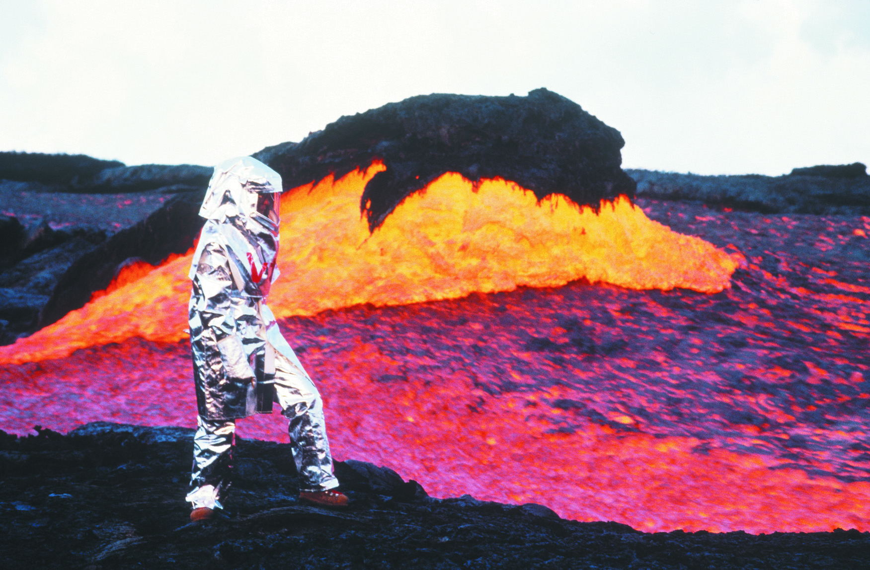
Magma, Lava, Lava Flows, Lava Lakes, etc., USGS
Glossary of volcanic terms. Learn more background information about lava and the hazards associated with lava flows.
Monitoring Volcanoes and Earthquakes
Volcano Monitoring, USGS
Learn how scientists at the USGS Volcano Hazards Program use a variety of techniques that can hear and see activity inside a volcano.
Early History of Seismometry, USGS
Details of development before 1900. Includes a description of the first device used to detect earthquakes and an illustration showing how seismograms are generated.
The Global Seismographic Network (GSN), USGS
Description of the worldwide digital network of 150 state-of-the-art seismological and geophysical sensors connected by a telecommunications network.
The United States Seismographic Network, USGS
Basic description of how seismograph stations are used to monitor earthquakes across the country.
Putting Down Roots in Earthquake County, USGS
Hazard preparation for earthquake threats with a focus on the west coast of the United States.
Seismometers, Seismographs, and Seismograms, etc., USGS
Glossary of seismic terms. From seismographs to P and S wave motion and Travel-Time curves.