Overview
In this section you will find materials that support the implementation of EarthComm, Section 7: Geology of the United States.
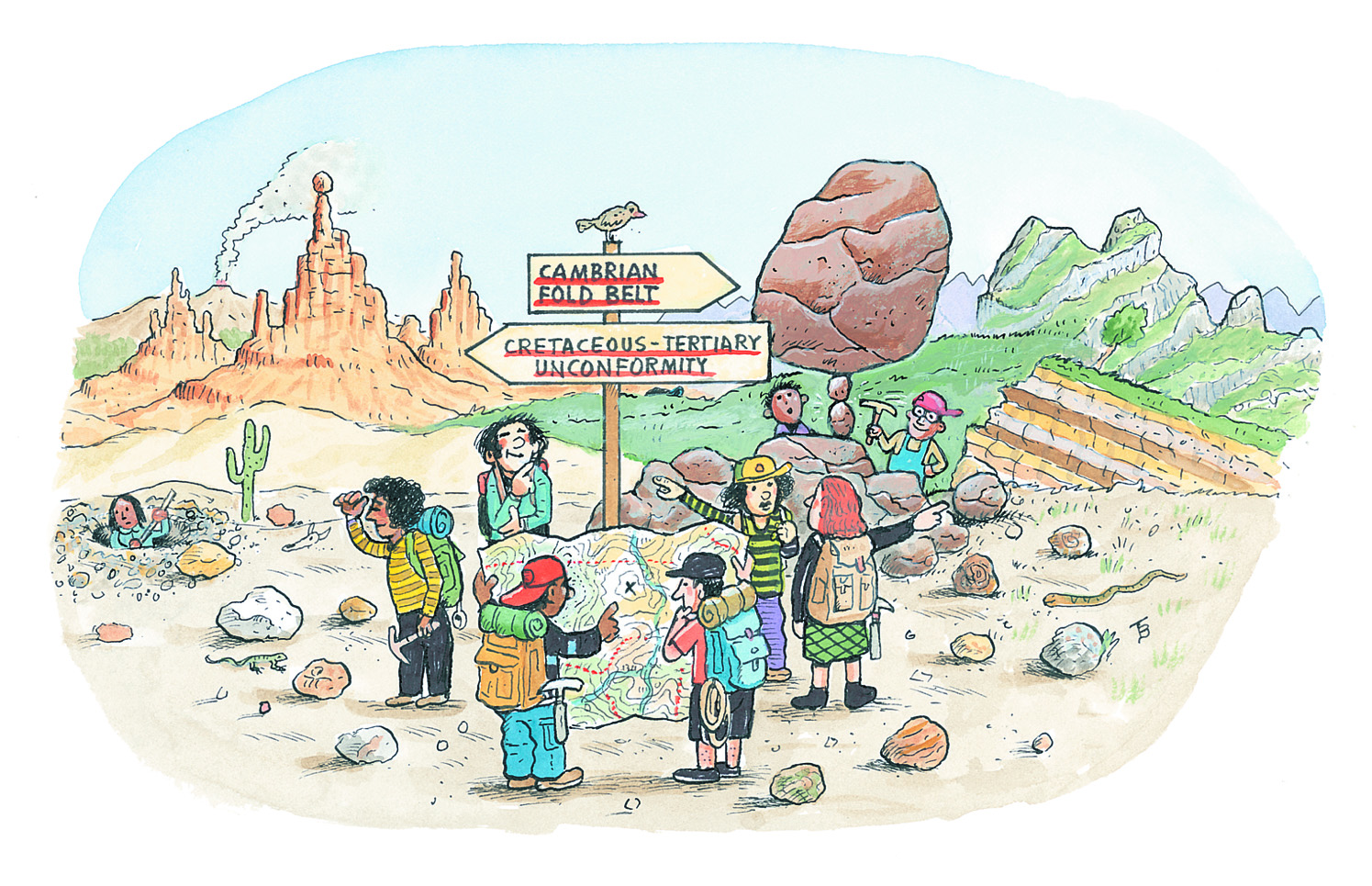
Learning Outcomes
- Analyze and interpret data on a geologic map of the United States to determine the different ages and types of bedrock.
- Construct an explanation for the formation of the major physiographic regions of the United States.
Inquiring Further
- To learn more about the history of development of the Appalachian Mountains, visit the following web sites:
Geologic Provinces of the United States: Appalachians Highlands Province, USGS
Describes the geologic history of the Appalachian Mountains.
The Last Volcanic Eruption on the East Coast of the U.S.?, Scientific American
Describes the last volcanic events on the passive margin and why the East Coast continues to exhibit seismic activity.
The Role of Volcanic Rocks on the Shape of the Appalachian Range, University of Rochester
Article the describes ideas about cause of the bend in the Appalachian Mountains between New York and Pennsylvania.
Birth of the Mountains, USGS
Geologic story of the Southern Appalachian Mountains.
The Southern Appalachian Mountains -How They Got Where They Are, Kempton H. Roll, Mountain Area Information Network
Describes the events which formed the Southern Appalachian Mountains.
Resources
To learn more about this topic, visit the following web sites:
The Earth's Continents
This Dynamic Earth, USGS
Explains how Earth has been shaped by plate-tectonic processes. Includes a section on unanswered questions.
The Movement of Continents
Continents on the Move, NOVA (PBS)
Provides detailed and illustrated pages about how scientists have determined that Earth’s continents are moving.
Continental Movement by Plate Tectonics, University of Hawaii
Build a better understanding of how the surface of the earth has changed over time by the process of plate tectonics.
The PaleoMap Project, Christopher R. Scotese
Illustrates the plate tectonic development of the ocean basins and continents, as well as the changing distribution of land and sea during the past 1,100 million years.
The Geologic History of North America
Tapestry and Terrain, USGS
Provides a map of the United States that combines geology and topography.
Background: Appalachians, Encyclopedia Britannica
Physical geology with links to different parts of the Appalachians and geologic processes both tectonic and at the surface.
National Parks by Geologic Province, USGS
Survey the map of the United States to find the National Parks within each geologic province.