Learning Outcomes
These indicate what you should understand and be able to do as a result of the section. Each Learning Outcome highlights one main practice of science or engineering that you will use to investigate and explore ideas of Earth and space sciences and key crosscutting concepts that are common among all the sciences.
- Carry out an investigation of the amount of heat required to melt ice.
- Use a model to describe the distribution of water in the hydrosphere.
- Develop a model to illustrate the processes that move water among Earth’s water reservoirs.
- Use a quantitative model to describe the rates at which water moves between reservoirs in the water cycle.
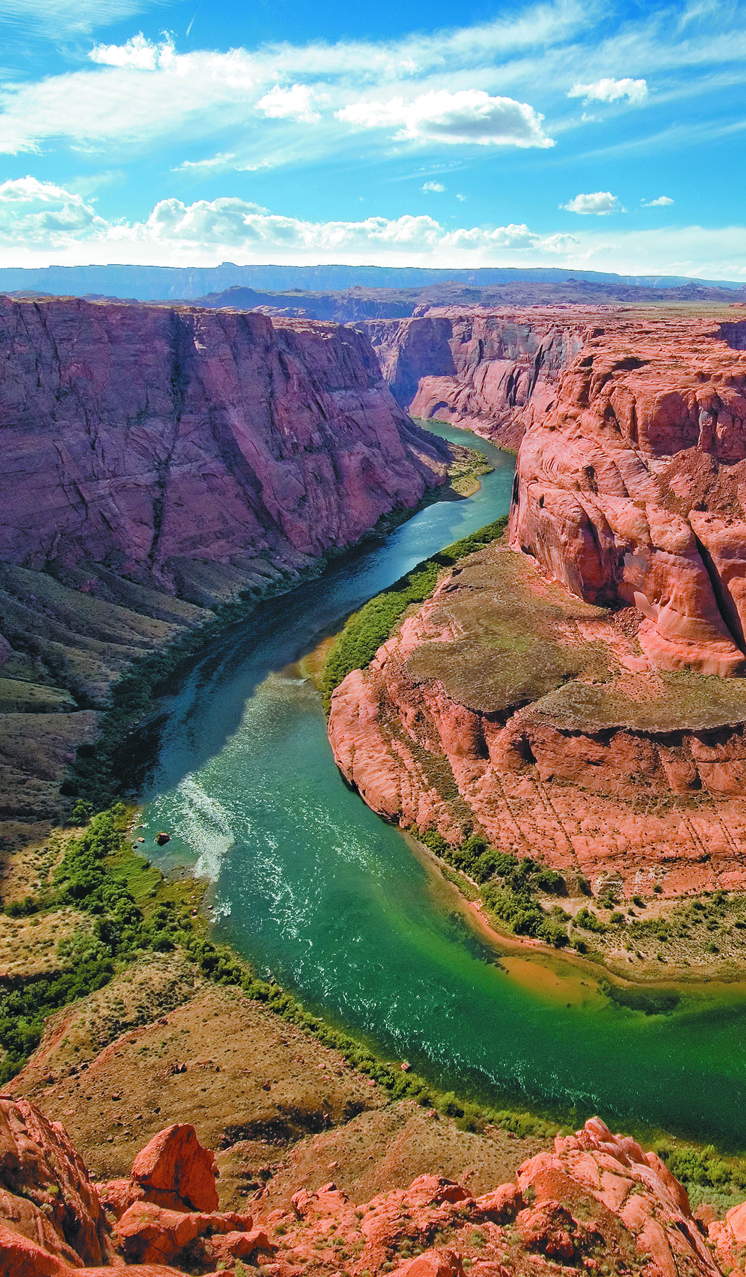
Section 2: Rivers and Drainage Basins
- Analyze data on a local topographic map to explain patterns in stream drainage within your community.
- Analyze data on regional maps and satellite images to determine the location of drainage basins and divides in your region.
- Obtain information about the interconnections among drainage systems.
Section 3: Slopes and Landscapes
- Carry out an investigation of the maximum slope that can be formed by a pile of sand.
- Carry out an investigation that compares the maximum slope angles formed by various unconsolidated sediments.
- Analyze contour data on a local topographic map to explain patterns in the slopes of your community.
- Obtain information about the importance of slopes in land development
Section 4: High-Gradient Streams
- Use a model to describe the characteristics of high-gradient streams.
- Analyze data on a local topographic map to calculate the gradient of a stream in your community.
- Analyze data for the Mississippi River System to explain the connection between stream gradient, elevation, and discharge.
- Analyze data for a high-gradient stream in your community to explain the characteristics of its channel, floodplain, and streamflow.
Section 5: Low-Gradient Streams
- Use a model to describe the characteristics of low-gradient streams.
- Analyze data for a low-gradient stream in your community to explain the characteristics of its channel, floodplain, and streamflow.
- Obtain information about potential hazards posed by low-gradient streams.
Section 6: Sediments in Streams
- Use a model to describe how moving water affects particles of sediment in streams.
- Carry out an investigation to classify sediment from a river in your community according to roundness and particle shape.
- Carry out an investigation to classify sediment from a stream in your community according to particle size.
- Use a model to describe the relationship between stream velocity and the movement of particles on a streambed.
- Plan and carry out an investigation that uses a classification system for identifying soil types.
- Plan and carry out investigations to measure the properties of soil samples.
- Obtain information about the importance of soil and its conservation as a natural resource.
Section 8: Glaciers and the Landscape
- Use a quantitative model to describe the factors that affect the volume and movement of a glacier.
- Use a model that illustrates the constructive and destructive processes of a moving valley glacier.
- Use a model that illustrates the effects of glacial meltwater flowing out of a glacier.
- Use a model that illustrates the impact of a glacier moving across a stream channel.
Section 9: Wind and the Landscape
- Plan and carry out investigations to test the factors that affect the erosion of sediment by wind.
- Analyze data to explain the relationship between wind velocity and size of particles moved by wind.
- Use a model to examine the effects of windblown particles on rocks.
- Use a model to determine how windblown sediment is deposited.
- Obtain information about the locations of Earth’s wind-dominated landscapes.
- Use a model to explain the movement of water by waves.
- Use a model to examine the effects of waves on shallow beaches.
- Use a model to examine the effects of waves on irregular coastlines.
- Use a model to examine the effects of waves on regular coastlines.