Overview
In this section you will find materials that support the implementation of EarthComm, Section 10: Coastal Processes.
Learning Outcomes
- Use a model to explain the movement of water by waves.
- Use a model to examine the effects of waves on shallow beaches.
- Use a model to examine the effects of waves on irregular coastlines.
- Use a model to examine the effects of waves on regular coastlines.
Inquiring Further
- To learn more about plate tectonics and coastal settings, visit the following web sites:
Geologic Provinces of the United States, USGS
The tectonic history of the coasts strongly influences the rock type and structure exposed at the surface, but differing rates of erosion that accompany changing climates can also have profound impacts on the land.
Oceans and Coastal Zones, Tulane University
Describes the factors that influence coastal areas. Section titled, “Types of Coasts” and “Coastal Evolution” examines east and west coast coastal processes.
Coastal Zones: The Margins of Continents, Penn State
Examines the influence of underlying geology on coastal landforms of the east coast.
Coastal Zones: Tectonics and Coastal Classification, Penn State
Distinguishes between collisional and passive coasts and how they differ.
A Review of Tectonic Events on the Passive Margin of Eastern North America, Rutgers Univ.
The cartoons at the end of this high level paper show how basins developed along the east coast that influence the coasts we see today.
200 Ma - Present Day: East and West Coast Tectonic Development, Scotese Project
This animation shows the plate tectonic and paleogeographic evolution of the North Atlantic region from 200 million years ago to the present-day. North Atlantic Ocean formed as a result of the breakup of the supercontinent of Pangea.
- To learn more about sea level and how it is measured, visit the following web sites:
Understanding Sea Level Using Real Data, NOAA
Examines how sea level is measured and the technology used to measure changes in sea level.
Sea Level Basics, Columbia Univ.
Shoreline is the measure of where the land meets the ocean. Learn how sea level is defined locally and globally.
Sea Level Bench Mark Data Sheets, NOAA
Describes the exact locations in coastal states of metal disks placed at the coast against which sea level is measured.
Sea Level and Climate, USGS
Explains what sea level is and how it is closely related to climate.
Frequently Asked Questons, NOAA
Explains what sea level is and how it changes with time.
- To use an Earth imaging program to learn about coastal processes, visit the following web sites:
Visible Earth
Search through a catalogue of NASA images and animations.
Earth Science World Image Bank, AGI
Search through over 6,000 photographs of Earth science related images.
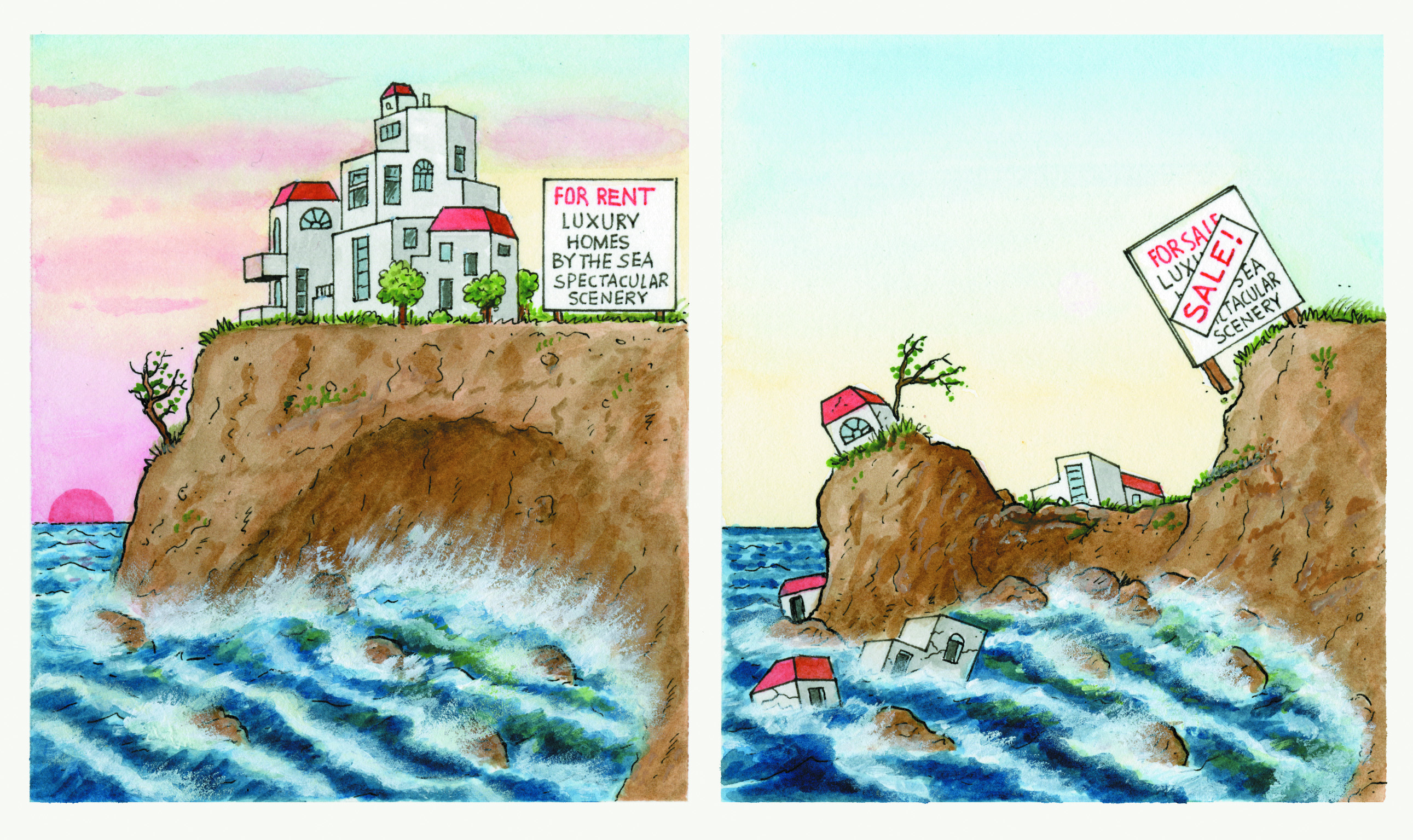
- To learn more about coastal erosion hazards, visit the following web sites:
Coastal Hazards, NOAA
Examines a variety of natural hazards that can occur along U.S. coasts, including coastal erosion.
Coastal Erosion Hazards, Beaufort Co. S.Carolina
Examines the process of coastal erosion, sediment transport, causes of coastal erosion, as well as various mitigation strategies.
Coastal Hazards Portal, USGS
Select beween hazards associated with extreme storms, shoreline change, and sea-level rise. Use the interactive map to determine the effect along the U.S. coasts.
FEMA Evaluation of Erosion Hazards at the Coasts, FEMA
This executive summary describes how over the next 60 years, erosion may claim one out of four houses within 500 feet of the U.S. shoreline.
Coastal Processes, NPS
In depth look at coastal processes, including coastal erosion and modifications to the coast to prevent hazards.
Resources
To learn more about this topic, visit the following web sites:
Coastal Processes
Coastal Systems: Landscapes and Processes, Penn State
Links to many different types of specific coastal environments within coastal zones as well as the different types of processes that are active in these environments.
Coastal Processes, NPS
Comprehensive examination of coastal processes, including waves, tides, currents, shoreline weathering and erosion, changes in sea level, and coastal hazards.
Coastal Change, USGS
Reviews coastal processes that continually change coasts, such as waves, tides, weather, water level changes, and vegetation.
Physical Agents of Land Loss: Waves, Currents, & Storm Surges, USGS
Looks at the effects of winter storms, hurricanes, and El Niño events on coastal areas.
Coastal Geologic Processes, Maine Geological Survey
Examines the ways in which winds, waves, tides, and currents continually reshape coastal environments.