Overview
In this section you will find materials that support the implementation of EarthComm, Section 6: The Surface Circulation of the Ocean.
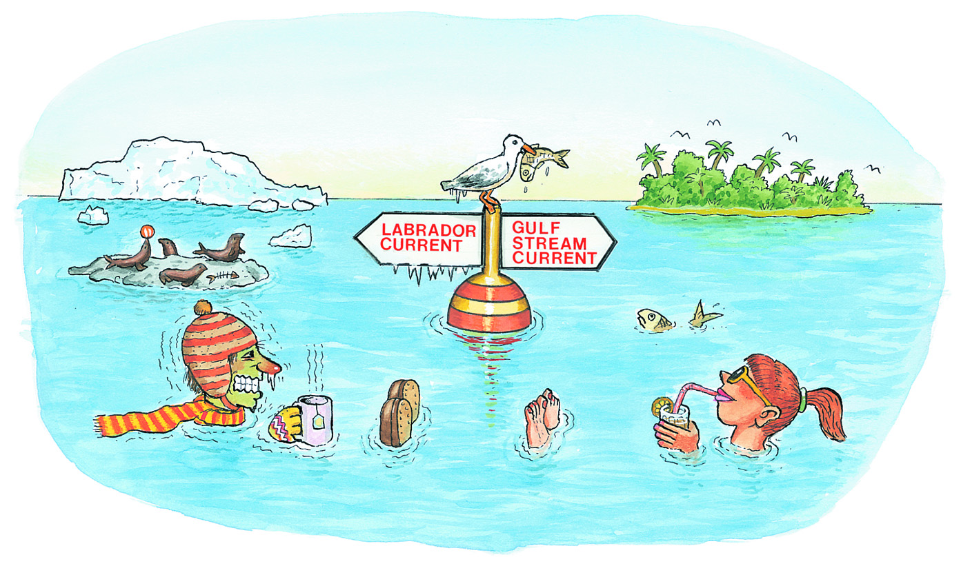
Learning Outcomes
- Analyze data to determine the direction and rate of flow of ocean surface currents in the North Pacific Ocean.
- Analyze and interpret data to explain the relationship between global patterns of surface winds and ocean surface currents.
- Obtain information about the role of ocean surface currents in Earth’s global climate system.
Inquiring Further
- To learn more about the relationship between surface currents and climate, visit the following web sites:
Ocean and Climate, NASA
Looks at the connection between the oceans and atmosphere, what ocean circulation is and why it is important, and its effects on climate.
Temperature of the Gulf Stream, NASA
Explains how the Gulf Stream current plays an extremely important role in regulating global climate. Includes a high-resolution satellite image.
Boundary Currents, NOAA
Examines the circulation of gyres. Describes the Gulf Stream and its effects on climate along the North American as well as European coasts.
Wind Driven Surface Currents: Rings, NASA
Satellite images show that the ocean is turbulent in much the same way that the atmosphere is turbulent. For example, relatively swift western boundary currents can spawn large turbulent rotating warm-core and cold-core eddies, also known as rings.
- To learn more seasonal upwelling along the west coast of North America, visit the following web site:
What is Upwelling?, NOAA
Find out about coastal upwelling and how it affects the biosphere.
Coastal Upwelling Indices, Pacific Fisheries Environmental Laboratory, NOAA
Provides a map of the west coast of the United States. Click on the red data points to view graphs of average monthly upwelling index values for several years.
Resources
To learn more about this topic, visit the following web sites:
Surface Currents
Using Flotsam to Study Ocean Currents, NASA
Contains information regarding the spill of shoes and rubber duckies in the Pacific that students investigate in Section 6, specifically how the spill led to a greater understanding of ocean circulation patterns.
NASA Views Our Perpetual Ocean, NASA
Animation of ocean surface currents from NASA satellites. Watch how bigger currents like the Gulf Stream in the Atlantic Ocean and the Kuroshio in the Pacific carry warm waters across thousands of miles.
Ocean Currents and Climate, USC
Covers the effect of wind stress on the water surface, the impact of the Coriolis effect on surface current patterns, and continent interference. Includes text and images to explain the major ocean gyres, transverse currents, western and eastern boundary, and the effect of plate tectonics on surface circulation.
OSCAR - Surface Current Modeling, ESR/NASA
Scroll down to read about how scientists use a grid of buoys to model small scale features of ocean currents to improve the resolution of thier models.
Upwelling
What is Upwelling?, NOAA
Find out about coastal upwelling and how it affects the biosphere.
Effect of Upwelling, NOAA
Examines upwelling and two important effects on coastal ecosystems and marine sanctuaries on the Pacific coast.
Major upwelling areas along the world's coasts, NOAA
Image that highlights major upwelling areas along the world's coasts.
Downwelling Background, NOAA
Describes downwelling caused as winds converge toward some region.