Geoscience informs all aspects of petroleum production and environmental protection

Introduction
Geoscience – the study of the Earth – underpins our understanding of the many intersections between petroleum and the environment, from the search for resources to the study of air pollutants. Without the work of geoscientists, we would have neither the energy system nor the environmental protections we benefit from today.
The Roles of Geoscientists
- Finding oil and gas – petroleum geoscientists (geophysicists, geologists, and geochemists) work in multidisciplinary teams to decide where to perform seismic imaging (like an ultrasound of the Earth), collect and analyze seismic data, and analyze pre-existing drillhole data from wells to develop a detailed picture of the oil- or gas-rich rocks deep beneath the Earth’s surface. These geoscientists use their knowledge of stratigraphy and sedimentary processes to predict the location and structure of oil- and gas-bearing rocks. Structural geology is used to predict the folding, faulting, and fracturing of rocks in order to interpret the shape of the oil- and gas-rich zones, identify areas where oil and gas may have migrated along faults and fractures, and improve the design of hydraulic fracturing operations. Geochemistry is used to study rock samples and fluids to better understand of the types and amounts of oil and gas present in the rocks. Paleontologists study fossils of ancient organisms, pollen grains, and more to help determine the age of rocks and how they formed. Petroleum geologists work closely with petroleum engineers who must ultimately design how the well will be drilled and prepared for production.
- Drilling safely and effectively – drilling and preparing a well for production is generally managed by engineers. Geologists help to monitor the drilling by studying rock samples brought up to the surface during the drilling process and analyzing geophysical data obtained by instruments inside the well. Hydrogeologists analyze the risk of ground- and surface water contamination during the drilling and operation of the well, informing decisions about where to position a well and how to reduce the risk from surface and drilling operations.
- Understanding and optimizing hydraulic fracturing – geophysicists and engineers study how fractures form during hydraulic fracturing, making the process more effective at extracting resources and improving understanding of the potential risks of contaminating groundwater or triggering earthquakes. Seismologists and engineers study the fractures and tiny earthquakes (microseisms) generated by hydraulic fracturing to monitor the progress of the operation, identify potential risks, and improve future operations.
- Monitoring and mitigating leaks, spills, emissions, and other hazards – geochemists study the groundwater and soil in areas of oil and gas activity to identify potential leaks and spills. Hydrologists provide insight into how a source of contamination may spread through ground- or surface water, and provide the same expertise to help mitigate the impacts of spills and guide cleanup operations. Atmospheric scientists monitor the emissions of methane, toxic gases, and other pollutants from oil and gas operations, transportation infrastructure, refineries, and end-users (power plants, cars, etc.). Geotechnical engineers help facilities engineers to design oilfield and transportation infrastructure to reduce surface impacts and decrease the chances of harmful leaks, spills, and other equipment failures due to soil movement, subsidence, earthquakes, landslides, flooding, and other geohazards. Geophysicists and geologists study the earthquakes triggered by oil and gas operations to determine the causes and effects and so help to prevent or reduce future earthquakes. Many state and federal regulators are geoscientists with the knowledge and experience to develop and enforce rules that are consistent with local and regional geologic conditions and protect the environment, human health, and property rights.
- Determining environmental impacts – geochemists, hydrologists, soil scientists, oceanographers, atmospheric scientists, and public health researchers study and forecast the short- and long-term effects of environmental contamination to identify the relative hazards from different issues and inform decisions about monitoring, mitigation, and remediation. Climate scientists study the short- and long-term effects of carbon dioxide, methane, and other major emissions on Earth’s climate, informing many research, policy, and commercial decisions that extend beyond energy and the environment to issues such as diplomatic relations, foreign aid, resilience to natural hazards, infrastructure development, food and water supplies, and much more.
- Education and outreach – Our present-day and future understanding of energy resources and the environment depends on well-trained geoscientists. This training requires experienced educators and the opportunity for direct participation in research and operations in private companies, universities, and non-profit organizations. Geoscience educators and outreach specialists also engage with the wider public, from schoolchildren and communities to elected representatives and nations, providing the scientific background to help inform decisions about energy and the environment at all levels.
To provide a sample of the various roles and responsibilities of geoscientists in petroleum and the environment, the rest of this section features profiles of seven geoscientists working in petroleum and the environment across many disciplines, from seismology to atmospheric chemistry, and across the United States, from Ohio to Alaska.

Profile 1: Bridget Scanlon
Senior Research Scientist, Bureau of Economic Geology, Jackson School of Geosciences, University of Texas at Austin.
I have worked on many different water resource issues throughout my 30-year career but most recently I have been focusing on water and energy interdependencies. At the Bureau of Economic Geology (BEG), we emphasize that the overlap between academia, industry, and government and collaboration among these groups is extremely important in advancing our understanding of the water-energy nexus.
My work for the BEG on the water-energy nexus began through collaboration with Dr. J.P. Nicot who conducted the first study to quantify water use for hydraulic fracturing to extract natural gas in the Barnett Shale Play. As the development of unconventional resources grew, some national and global studies indicated that water scarcity was a particular concern in unconventional oil and gas production. To thoroughly address this issue we evaluated water supplies for shale oil and gas development in the Bakken and Eagle Ford plays and showed that water management systems were expanding to meet demand. In the Bakken, infrastructure was being developed to transport water from Lake Sakakawea, the 3rd largest reservoir in the U.S.; in the Eagle Ford, large brackish groundwater supplies were being tapped.
Our most recent work has focused on the Permian Basin, which is transitioning from one of the largest conventional resources to the largest global unconventional resource. Water management here is challenging, both in sourcing water for hydraulic fracturing in this semiarid region and managing large volumes of water that are co-produced with oil and gas, termed “produced water”. Traditionally produced water has been reinjected into conventional reservoirs for enhanced oil recovery; however, the low permeability of unconventional reservoirs mean that we need to inject produced water from these reservoirs into other, non-producing rock layers, increasing subsurface pressures and potentially inducing earthquakes. I have been collaborating with colleagues at the Oklahoma Geological Survey and Stanford University to understand the controls on induced seismicity in Oklahoma and to determine how we can apply lessons from Oklahoma to other tight oil plays to minimize potential seismicity.
Lastly, we have been working on water consumption for electricity generation, showing that water used for shale gas extraction is a small fraction (~5%) of the amount of water consumed in power plants to generate electricity with natural gas. I thoroughly enjoy working in a collaborative research team at the Bureau of Economic Geology, where we have strong connections with industry and government agencies and opportunities to develop fundamental understanding of the water-energy nexus.
Profile 2: David Houseknecht
Senior Research Geologist, U.S. Geological Survey
How much oil lies undiscovered beneath the environmentally fragile landscape of the Alaskan Arctic? Will development of those oil resources pump new life into the Trans Alaska Pipeline System, increase the nation’s energy independence, and revive Alaska’s sputtering economy? Will increased industry activity hasten deterioration of permafrost beneath the coastal plain, accelerate shoreline erosion, and jeopardize the habitat of polar bears, caribou, and migratory birds? These are just a few of the questions surrounding one of the nation’s most politically volatile earth-science issues.
I have worked as a research geologist since 1995 on, and led since 2008, the USGS “Alaska Petroleum Systems” project charged with answering the “how much oil” question. The project includes about a dozen geoscientists scattered among USGS offices in Alaska, California, Colorado, and Virginia. And, I have represented the U.S. Geological Survey (USGS) perspective on Arctic Alaska petroleum resource potential since 1992 – to the Administration, Congress, Federal and State agencies, non-government organizations, the petroleum industry, the media, and the public – as political winds have swirled in every possible direction.
Despite including North America’s largest oil field (Prudhoe Bay) and numerous other fields that would be considered huge by lower-48 standards, Arctic Alaska is lightly explored outside a core area along the Arctic coast. Consequently, our project conducts fundamental research to reconstruct the stratigraphic and structural evolution of the region by integrating subsurface mapping and interpretation, helicopter-supported field work, and sophisticated laboratory analyses to build a three-dimensional geological framework. Within that framework, our interdisciplinary team uses a “source to sink” approach to estimate undiscovered oil potential by reconstructing oil-generative “kitchens”, interpreting petroleum-migration pathways from kitchens to potential traps, and deciphering how the entire petroleum system evolved through time.
Perhaps the most challenging part of my job is communicating complex science, including probabilistic estimates of undiscovered petroleum resources, in a politically volatile environment. In doing so, I follow a handful of benchmark principles. First, I insist that our project scientists publish peer-reviewed reports on their research, preferably in prestigious journals. Second, we strive to make the assessment process as transparent as possible by communicating the science and methods often and to a broad spectrum of stakeholders. Third, we follow the USGS assessment protocol, which includes public review meetings to solicit feedback from external experts, thorough internal review of geological concepts, and rigorous statistical analysis for generating results. Fourth, we follow USGS Fundamental Science Practices to assure scientific integrity in conducting assessments and releasing results. Fifth, we communicate the results broadly and make ourselves available to discuss the results with stakeholders. These five steps bolster the scientific credibility of USGS assessments, underscore that resource assessments are rooted in science rather than political or societal influences, and create opportunities for collaborative application of assessment results to a broad range of resource and environmental topics.
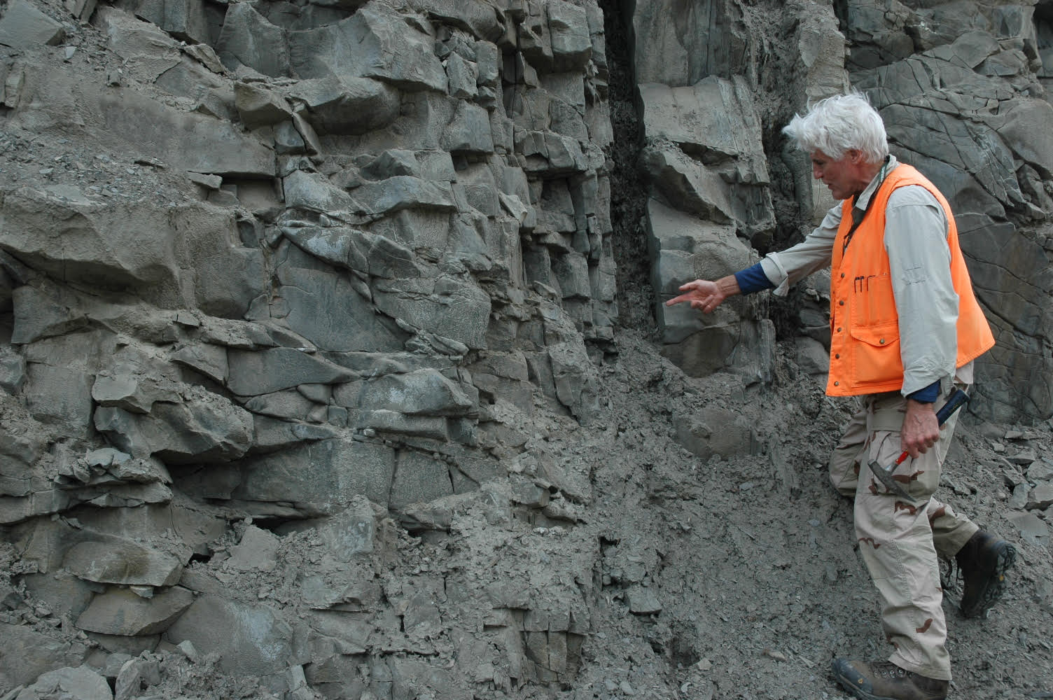
Profile 3: John Vincent Fontana
Professional Geologist, President/CEO, Vista GeoScience
I started my career in 1981 as a mud logger (wellsite geologist) for a company right after graduation. I later transitioned into their soil gas exploration geochemistry division where I helped develop exploration methods and used geostatistical data to evaluate micro-seeps for oil, gas and mineral prospecting. In 1986, I started my own company, continuing with soil gas exploration services, but expanded the services into environmental site investigation and remediation, and eventually ended up as sole owner of an environmental site investigation and remediation company.
The soil gas exploration techniques I developed and used for exploration turned out to be applicable to environmental contaminant site investigations for petroleum and industrial chemical spills, gas migration at landfills, and natural gas migration issues. We went from using hand driven soil gas probes and augers to truck- or tractor-mounted drilling rigs for collecting soil gas, ground water and soil samples for environmental analysis using EPA-approved lab methods. To make investigations more efficient, we moved laboratory bench instruments (mainly gas chromatographs and portable spectrometers) into mobile vehicles so that environmental investigations could be completed more efficiently on site without waiting for long laboratory turnaround times to decide “where to drill next.”
My experience and knowledge gained during my work on trace gas analysis for oil and gas exploration allowed me to interpret both natural and anthropogenic stray gas migration from coal bed methane fields, conventional oil and gas fields, and directionally drilled shale oil/gas wells. I have been able to apply this technology to provide forensic-type analysis of these issues. I have been able to apply and share this approach in many contexts, and my work in this area led to my nomination and appointment to serve on the US-EPA Science Advisory Board (SAB) on the “EPA’s Study of the Potential Impacts of Hydraulic Fracturing on Drinking Water Resources.” With my experience in both drilling oil and gas wells and forensic geochemical investigation of stray gas migration, I was able to bring a unique perspective to this panel of 35 experts.
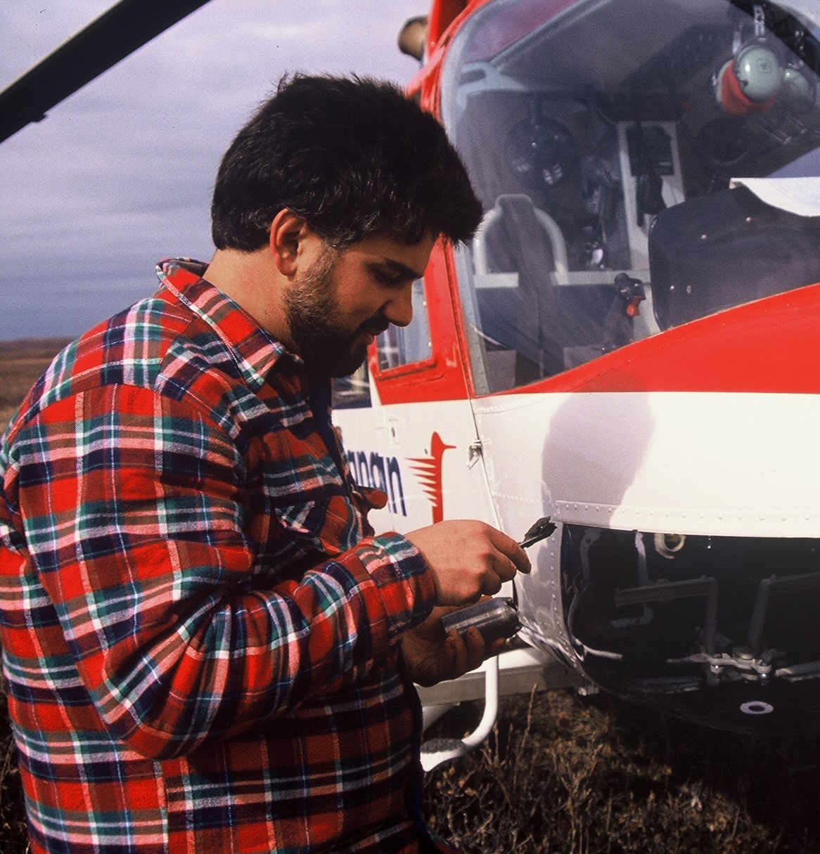
Profile 4: Katherine M. Saad
Postdoctoral Fellow, The Aerospace Corporation
A camera captures light; a hyperspectral image captures electromagnetic waves far beyond what we can see. In this way, hyperspectral images are often likened to photographs, but to me they are more like a secret code that chemicals in the atmosphere are sending to our sensors. These chemicals have unique signatures based on the ways they absorb and emit infrared light, and detecting their signals allows scientists to map emissions released from both natural processes and human activities on the Earth’s surface. Our team at The Aerospace Corporation deploys our sensors on aircraft, enabling us to scan large areas and get a picture of emissions plumes from above. This makes our instruments well suited for measuring unintended emissions from oil and gas wells, processing facilities, and distribution infrastructure. By taking these measurements over large areas, researchers can map leaks and other unintended releases of hydrocarbons, which besides being potential safety hazards are also energy sources that are wasted when lost, and in some cases present the risk of exposure to toxic chemicals.
As a principal investigator (PI), I design research studies and am responsible for the data collection, calibration, and analysis involved. The most exciting of these are the field campaigns themselves – not just flying on the aircraft with the instrument, but also deciding on flight paths and thinking on my feet when challenges arise. In that way, my PhD in Environmental Science and Engineering prepared me far beyond providing a foundation for atmospheric chemistry research, as I learned how to think critically and act decisively in a fast-paced environment.
Prior to graduate school, I worked in the energy sector after earning a B.S. in Environmental Sciences, a B.A. in Political Science, and a minor in Energy and Resources. The core of the B.S. was physical science, but my program gave me the flexibility to take electives such as environmental impact assessment and remote sensing engineering. I also had the opportunity to pursue a thesis project in each of those three departments, which sparked my enthusiasm for field work.
Profile 5: Sherilyn Williams-Stroud
Structural Geologist, President & CEO, Confractus, Inc.
As a structural geologist in exploration and production, I specialized in fracture analysis. Rock fractures provide pathways for fluid flow into and out of a reservoir, so their presence/absence and the timing of their formation will determine whether or not a petroleum reservoir exists. If fracturing happened before a seal formed to trap the oil and/or gas, the hydrocarbons will simply pass through. However, if fracturing occurred after the reservoir formed, the natural fractures can make it much easier to extract oil or gas from that reservoir if the fracture network is well understood. Understanding natural fracturing and its timing has also helped lead to a better understanding of some of the processes related to unconventional reservoirs. One issue I have focused on is trying to determine when a shale might become naturally fractured. As hydrocarbons form, they increase the internal pressure on the rock, which can create fractures in much the same way as human-caused hydraulic fracturing.
I joined a microseismic company at the beginning of the boom for unconventional oil and gas production, at a time when induced seismicity began to be seen as a potential hazard for surrounding communities. Although the vast majority of induced events from hydraulic fracturing were too small to be felt, some of the early hydraulic fracture mapping data showed that seismicity was occurring at a distance from the reservoir that could not have been related to the increased fluid pressure near the wellbore. We interpreted these events as fault plane reactivations from the stress change in the reservoir during and after the frack. In the early days, even those larger events were not large enough to be felt, but they raised the issue of how large an event could happen and how far away it could be. Because the boom in unconventionals resulted in a large increase in the amount of produced water in need of disposal, high rates of disposal by underground injection led to the surge in felt earthquakes in high-production regions like Texas and Oklahoma. Geomechanical and structural analysis, combined with microseismic monitoring and geologic interpretation of the data, has led to a better understanding of the existing fracture and fault networks involved in induced earthquakes.
Microseismic monitoring is also key for the geothermal energy industry, improving our understanding of permeable pathway locations in engineered/enhanced geothermal systems (EGS) and the role of existing faults in induced seismicity. Recent developments in low-temperature geothermal resources have strengthened the transferability of microseismic monitoring between geothermal and oil/gas systems, as both low-temperature geothermal resources and petroleum are found in sedimentary basins.
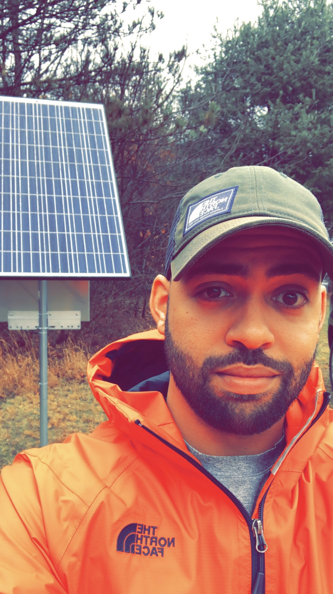
Profile 6: Steven Dade
Geologist II, Ohio Department of Natural Resources: Division of Oil & Gas Resources Management
As a Geologist II for the Ohio Department of Natural Resources (ODNR): Division of Oil & Gas Resources Management (DOGRM), I’ve worked extensively in expanding, maintaining and operating the OhioNET Seismic Network. This network aims to tackle several major issues on induced seismicity hazards and environmental protection in Ohio. Since beginning as an intern in 2013 with ODNR, my role within the program has changed dramatically. As an intern, much of my early work focused on georeferencing old satellite imagery and learning how to construct seismic vaults and stations. Now as a stand-alone program within the division, OhioNET has expanded in both personnel and station coverage as oil and gas operations continue to grow in Ohio. This unique role has led to learning and understanding the interactions of a wide range of disciplines including seismology, geology, seismic station construction, seismic processing software, GIS mapping, telemetry, data acquisition, and data management.
The OhioNET seismic network began operation in 2012 and has become a statewide, real-time network consisting of over 45 seismic stations from multiple sources including ODNR, industry operators, Transportable Array (TA), and the Central Eastern United States Network (CEUSN).
To cope with and prepare for the increasing need for regulatory oversight in oil and natural gas operations related to the Ohio Utica shale play, much of the work done at OhioNET focuses on guaranteeing the ability to accurately locate and quantify seismic events in both disposal areas and unconventional oil- and gas-producing zones. Another key factor for me has been to stay up to date with industry techniques and technologies to help guide further expansion and effectiveness of this evolving field of study.
In terms of regulation, ODNR has strengthened its capacity through additional human resources, improved infrastructure, and a robust regulatory framework with improved policies. This leap in growth has improved our ability to perform our principal regulatory role for oil and gas operations in Ohio, as well as our contribution to the state’s overall seismic risk reduction. These improvements and proactive steps will hopefully continue to build a culture of safety surrounding oil and gas extraction and further public and industry participation.
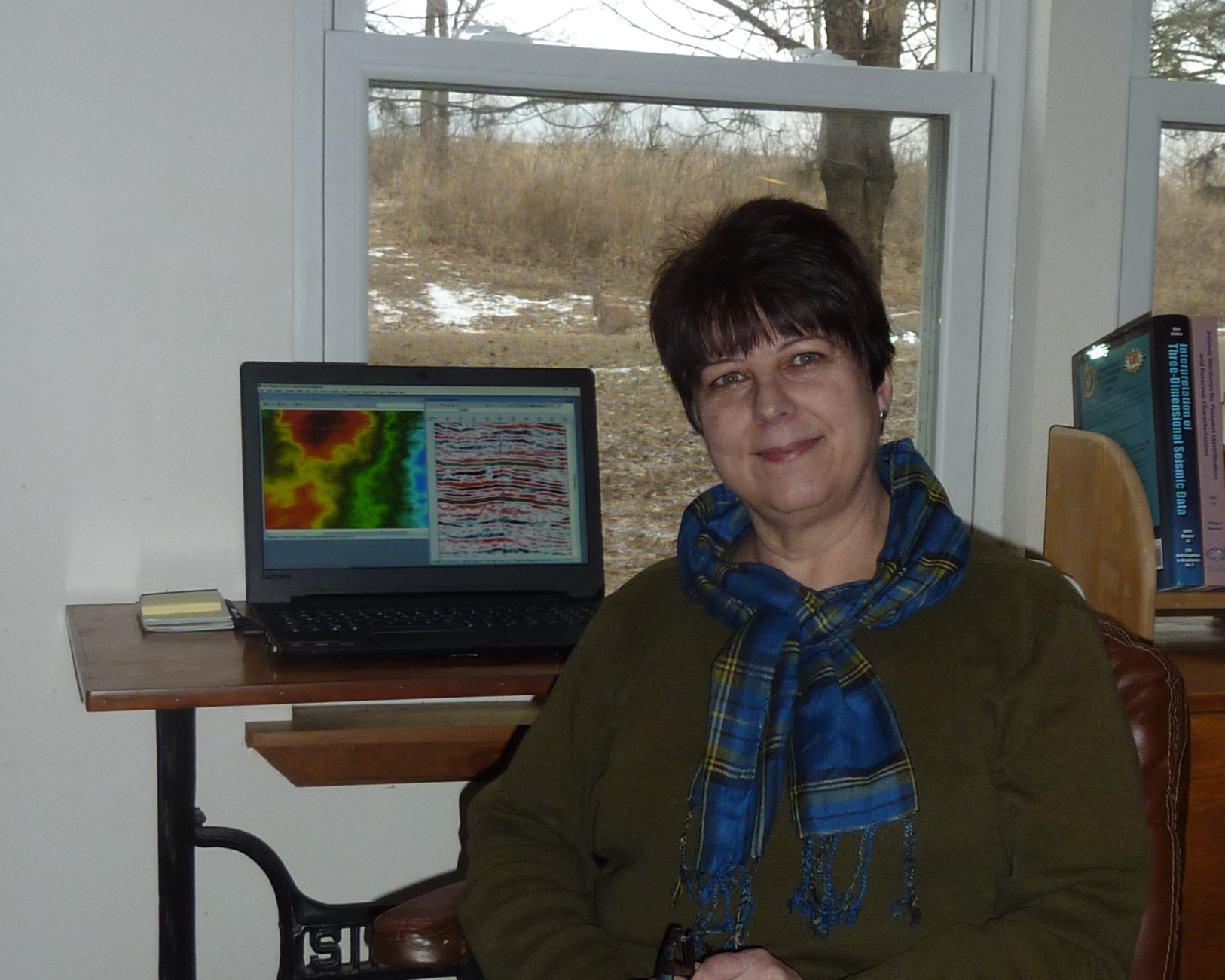
Profile 7: Susan Nissen
Consulting Geophysicist
I work as a consulting geophysicist for several small independent petroleum companies focusing on exploration and production in the midcontinent, primarily Kansas, Colorado, and Nebraska. I first became interested in pursuing a career in geophysics when I took an introductory geology class as a freshman in college. After receiving a B.S. in geophysics from the University of Delaware and a Ph.D. in marine geophysics from Columbia University, I spent a number of years in the petroleum industry as a research scientist at an industry research center in Tulsa, Oklahoma. While there, I was involved in the development and testing of new seismic interpretation techniques. In 1999, I moved to Kansas to work in the Petroleum Research Section of the Kansas Geological Survey, focusing my research on the application of new seismic techniques to reservoirs in the US midcontinent. I started my own consulting business in 2006.
Geophysicists use various indirect methods to study the rocks beneath the earth’s surface. These methods complement the more direct, but spatially limited, information about the subsurface that is obtained by drilling a well. The geophysical method that I use is 3-D reflection seismology, or “3-D seismic”. In reflection seismology, vibrations (seismic waves) are generated at the earth’s surface using a source such as a vibrator truck. The seismic waves penetrate the subsurface and bounce off boundaries (horizons) between rock layers. The reflected seismic waves that return to the surface are then recorded by seismic receivers. The travel time (time from when the seismic wave is generated until it is recorded) and amplitude of each of these seismic reflections can be used to infer information about the subsurface. In 3-D seismic, the sources and receivers are set up to produce a closely-spaced spatial grid of data. I interpret the seismic reflections from key subsurface horizons, such as the tops of petroleum-producing formations, and make maps, similar to topographic maps, of the shapes of these horizons. I also integrate the seismic data with well data to predict the structure and physical properties (e.g., porosity, rock type) of petroleum reservoirs away from existing well locations. This information allows my clients to better position new drilling locations.
Petroleum and the Environment
Download a full PDF of Petroleum and the Environment (free) or purchase a printed version ($19.99).
Other parts in this series:
1. Petroleum and the Environment: an Introduction
2. Water in the Oil and Gas Industry
3. Induced Seismicity from Oil and Gas Operations
4. Water Sources for Hydraulic Fracturing
5. Using Produced Water
6. Groundwater Protection in Oil and Gas Production
7. Abandoned Wells
8. What Determines the Location of a Well?
9. Land Use in the Oil and Gas Industry
10. The Pinedale Gas Field, Wyoming
11. Heavy Oil
12. Oil and Gas in the U.S. Arctic
13. Offshore Oil and Gas
14. Spills in Oil and Natural Gas Fields
15. Transportation of Oil, Gas, and Refined Products
16. Oil Refining and Gas Processing
17. Non-Fuel Products of Oil and Gas
18. Air Quality Impacts of Oil and Gas
19. Methane Emissions in the Oil and Gas Industry
20. Mitigating and Regulating Methane Emissions
21. Regulation of Oil and Gas Operations
22. Health and Safety in Oil and Gas Extraction
23. Subsurface Data in the Oil and Gas Industry
24. Geoscientists in Petroleum and the Environment
Glossary of Terms
References
Related Geoscience Currents


- ‹ previous
- 3 of 4
- next ›