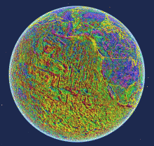
The NOAA National Centers for Environmental Information have announced the release of the third version of EMAG2. This version does not rely on local geology to interpolate anomalies; rather, it relies solely on the available data. NOAA notes that "Global magnetic anomaly grids are used for resource exploration, navigation where GPS is unavailable (submarine, directional drilling, etc.), and for studying the evolution of the lithosphere." These data are available for download online.
