
Earthquakes
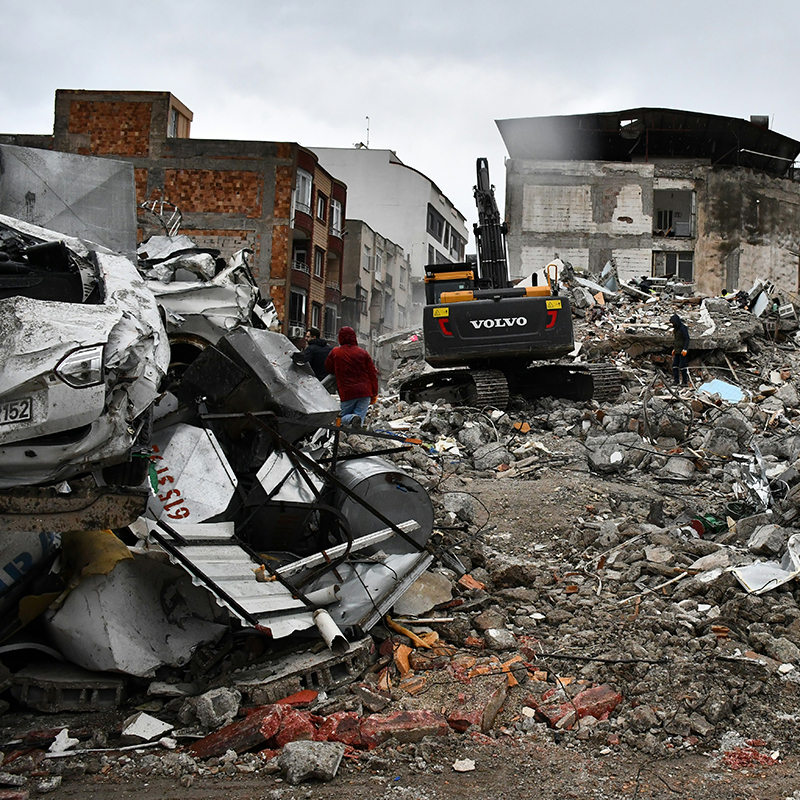
Since 1900, earthquakes in the United States have resulted in over 1300 deaths and direct damages totaling more than $51 billion. While the West Coast and Alaska have the highest risk, history shows that major earthquakes can also affect the Central and Eastern United States.
The Basics
Most earthquakes are caused by the sudden release of built-up stress along faults, fractures in the Earth’s crust where large blocks of crustal rock move against one another. An earthquake’s size can be measured by the amount of energy released by that movement. While scientists can’t predict earthquakes, they are developing earthquake early warning systems that can provide seconds to minutes of warning when an earthquake occurs. Scientists can also estimate the likelihood of future quakes and use that information to design safer buildings and roads.
Why do earthquakes matter?
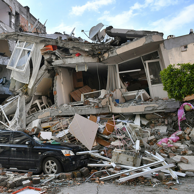
Earthquakes are a global hazard, taking millions of lives worldwide since 1900.[1] In the United States, large earthquakes pose a substantial threat along the West Coast and in Alaska. A single event can be devastating: for example, the 1994 Northridge, CA, magnitude 6.7 earthquake caused at least $40 billion in direct damage and killed around sixty people.[1] While the West Coast has the most active faults, large earthquakes can also affect the Central and Eastern United States, as they did during the 1811 and 1812 New Madrid earthquakes and 1886 Charleston, SC earthquake. Since 2009, a significant number of (mostly small) earthquakes have been observed in some areas of Oklahoma, Kansas, and other major oil- and gas-producing states; these earthquakes are mostly caused by the disposal of large volumes of wastewater in underground injection wells.
How does geoscience help inform decisions about earthquake hazards?
Geoscientists measure earthquakes to pinpoint where they are occurring and determine the long-term earthquake hazard an area may face. This understanding of potential earthquake hazard is crucial for urban planning and earthquake-resistant design of buildings and infrastructure. Geoscientists are also developing earthquake early warning systems to give a few seconds to minutes of early warning once an earthquake has been detected.
References
1 The Significant Earthquake Database, NOAA National Geophysical Data Center
Learn More
Introductory Resources
-
The Science of Earthquakes, U.S. Geological Survey
A basic definition of earthquakes, what causes them, why they cause shaking, how they are recorded, how scientists can tell where an earthquake happened, and how scientists measure their size. -
Seismicity of the Earth 1900-2013, U.S. Geological Survey
Historical maps of seismic activity for the entire Earth, with higher-resolution maps of more seismically active areas. -
Recent Earthquake Teachable Moments, Incorporated Research Institutions for Seismology (IRIS)
Regularly updated website with downloadable slides and other teaching and learning materials for recent major earthquakes around the world.
Resources for Educators
-
Education GeoSource Network (EGS), AGI
Search for earthquake resources related to professional resources, curricula & instruction, teaching media, outreach programs, and other EGS collections. -
NGSS Performance Expectations, Next Generation Science Standards
3-ESS3-1, 4-ESS3-2, MS-ESS3-2, HS-ESS3-1, 2-ESS2-2, 4-ESS2-2, MS-ESS2-3 -
NGSS Disciplinary Core Ideas, Next Generation Science Standards
ESS3.B, ESS2.B
Additional Resources


Explore Related Topics
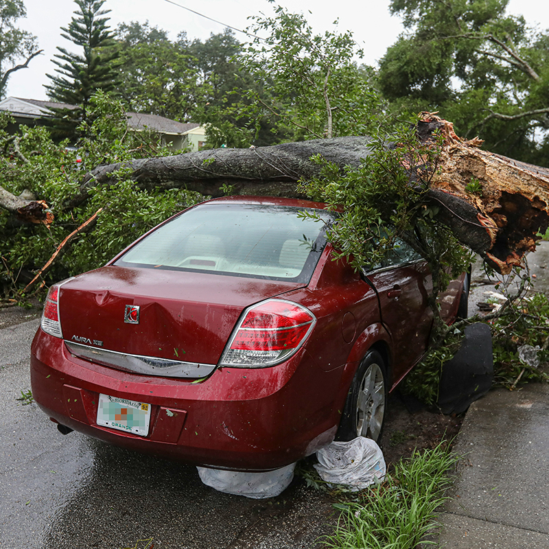
Natural hazards such as earthquakes, landslides, hurricanes, floods, and wildfires endanger public health and safety, threaten critical infrastructure, and cost our economy billions of dollars each year. Geoscientists study these hazards to provide information and warnings to populations at risk.
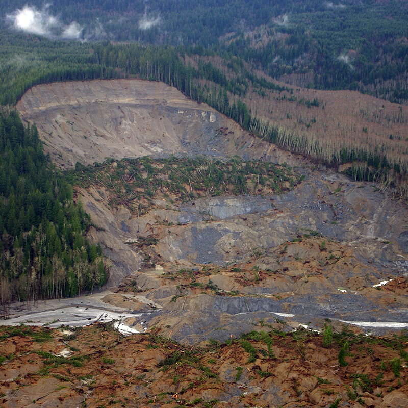
Landslides affect all 50 states and U.S. territories, where they cause 25 to 50 deaths and more than $1 billion in damages each year. Geoscientists study and monitor landslides to identify at-risk areas, prepare populations, and improve our understanding of why, when, and where landslides happen.
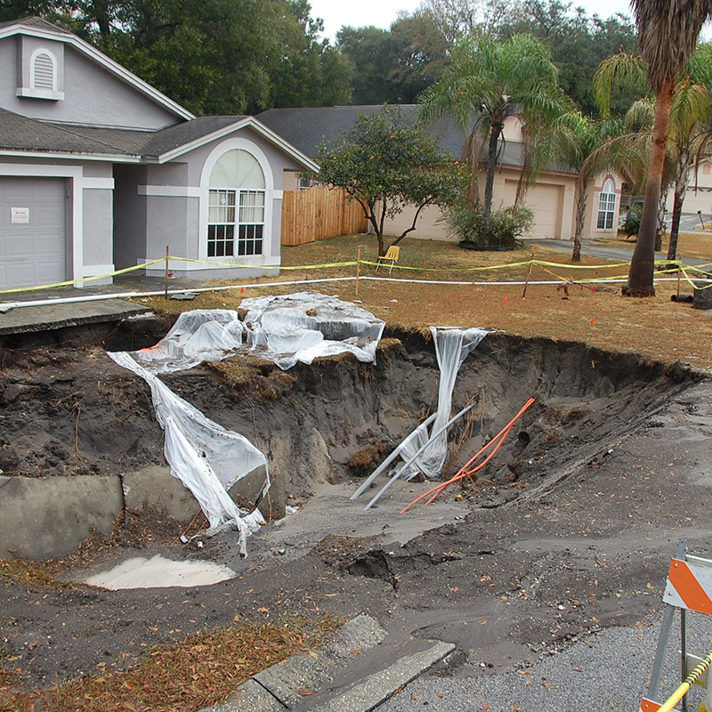
Sinkholes have both natural and artificial causes. They tend to occur most often in places where water can dissolve the bedrock (especially limestone) below the surface, causing overlying rocks to collapse. Florida, Texas, Alabama, Missouri, Kentucky, Tennessee, and Pennsylvania are most sinkhole-prone.
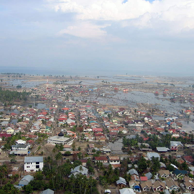
Tsunamis are destructive waves caused by sudden displacement of ocean water. Tsunamis most often appear on shore as a rapidly receding tide or rapidly rising flood. In the United States, the Pacific coastal states – Oregon, Washington, California, Alaska, and Hawaii – are at greatest risk for destructive tsunamis.
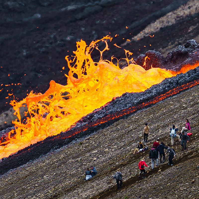
Volcanoes pose many hazards to their surroundings, from ashfall, mudflows, lava flows, landslides, and associated earthquakes. At least 54 of the United States’ 169 active volcanoes pose major threats to public health and safety and to major industries such as agriculture, aviation, and transportation.