Geoscience Intersections
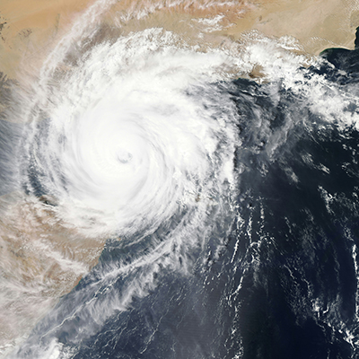
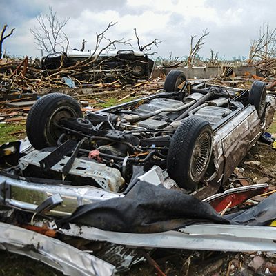
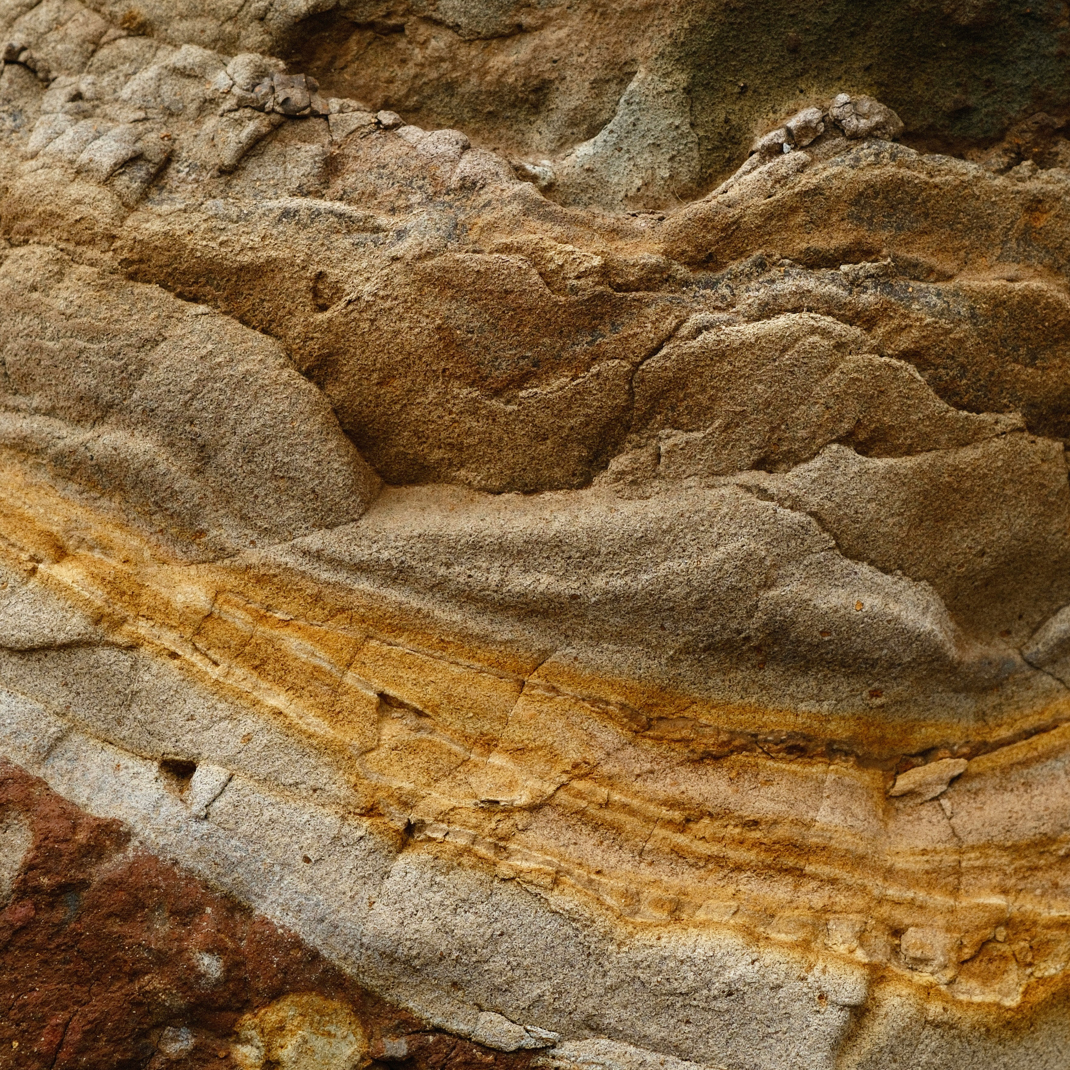
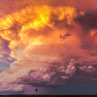
Explore how geoscience intersects with societal challenges and informs our understanding of critical issues such as climate change, natural hazards, and resource management.

Explore how geoscience intersects with societal challenges and informs our understanding of critical issues such as climate change, natural hazards, and resource management.