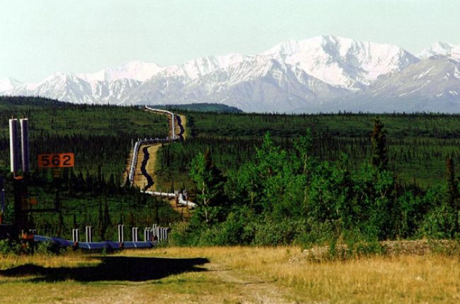
The EIA publishes a customizable map with a range of energy-related information, including the locations of natural gas and petroleum (hazardous liquids) pipelines in the United States. The EIA also makes data on natural gas pipelines available with information about pipelines, capacities, flows and network design, transportation corridors, and other relevant information for pipelines in the continental U.S. - maps of these pipelines are also available through the U.S. Department of Transportation. See below for interactive maps showing pipelines in the United States.
Learn More:
- U.S. Energy Mapping System (Map tool), Energy Information Administration
Includes several map layers in an easy-to-use interface, including locations of crude oil pipelines, petroleum product pipelines, natural gas pipelines, and other energy infrastructure including refineries, natural gas processing plants, and power plants.
- National Pipeline Mapping System (Map tool), U.S. Department of Transportation
Online map viewers showing locations of natural gas pipelines, with a public viewer and additional information for government officials.


