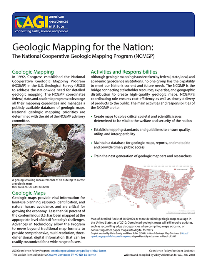
Geologic maps provide vital information for land-use planning, resource identification, and natural hazard avoidance, and are critical for growing the economy. Less than 50 percent of the conterminous U.S. has been mapped at the appropriate level of detail for today’s challenges. Advances in technology have moved beyond traditional map formats to provide comprehensive, multi-resolution, three-dimensional, digital information that can be readily customized for a wide range of users.
This project aims to increase the awareness of the importance and value of geologic mapping through the development of outreach materials and research into how geologic maps are used in decision making to address societal issues.
Associated Research Products
Policy Factsheet 2018-001
Geologic Mapping
In 1992, Congress established the National Cooperative Geologic Mapping Program (NCGMP) in the U.S. Geological Survey to address the nationwide need for detailed geologic mapping. The NCGMP coordinates Federal, State, and academic programs to leverage all their mapping...
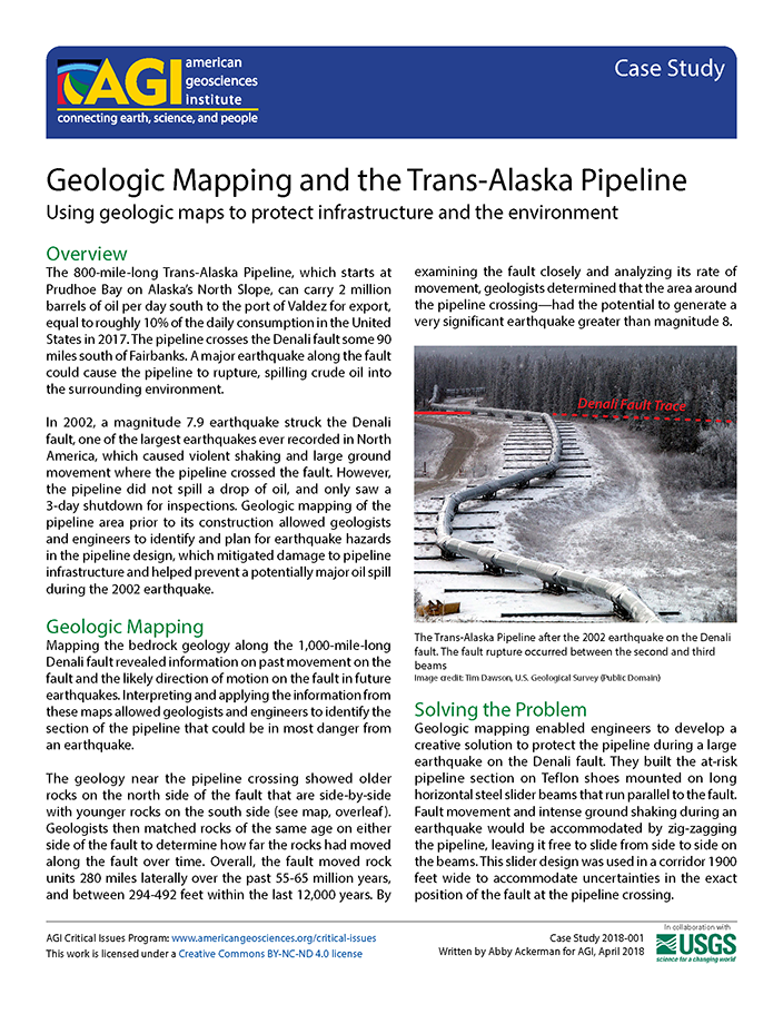
Case Study 2018-001
Overview
The 800-mile-long Trans-Alaska Pipeline, which starts at Prudhoe Bay on Alaska’s North Slope, can carry 2 million barrels of oil per day south to the port of Valdez for export, equal to roughly 10% of the daily consumption in the United States in 20171. The pipeline crosses the Denali...
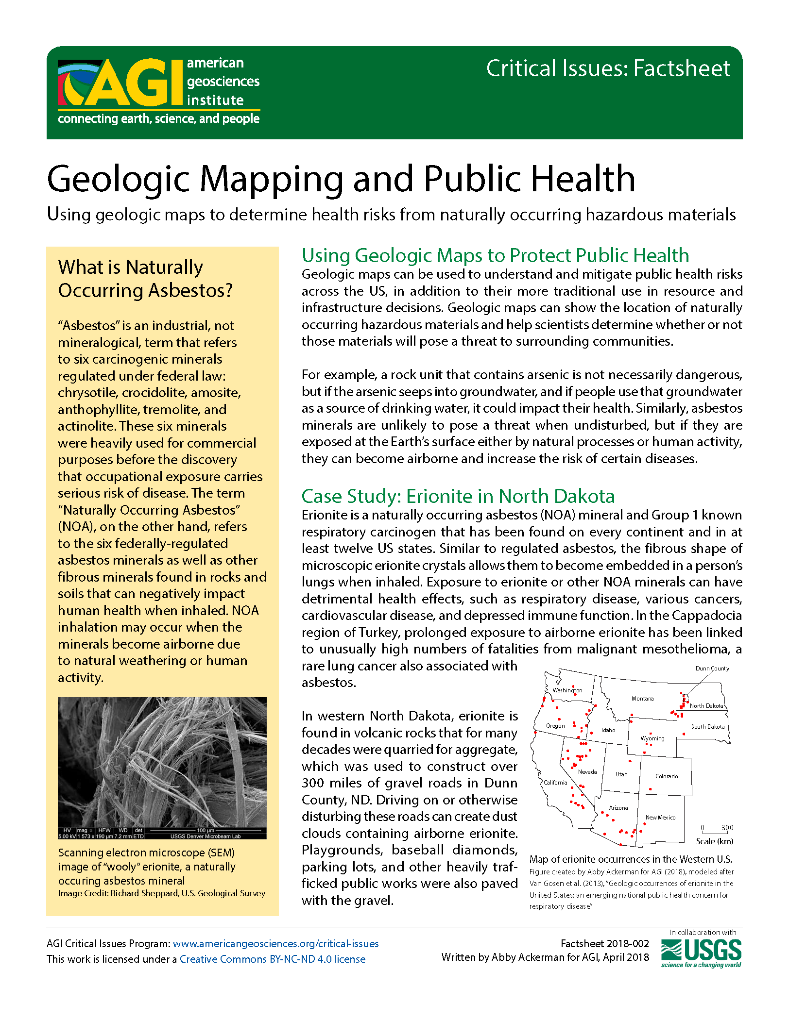
Factsheet 2018-002
Using Geologic Maps to Protect Public Health
Geologic maps can be used to understand and mitigate public health risks across the US, in addition to their more traditional use in resource and infrastructure decisions. Geologic maps can show the location of naturally occurring hazardous materials...
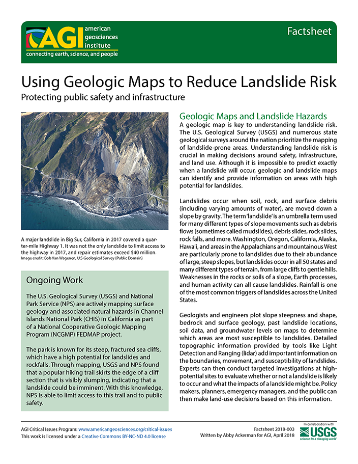
Factsheet 2018-003
Geologic Maps and Landslide Hazards
A geologic map is key to understanding landslide risk. The U.S. Geological Survey (USGS) and numerous state geological surveys around the nation prioritize the mapping of landslide-prone areas. Understanding landslide risk is crucial in making decisions around...
AGI Webinars
Less than one-third of the U.S. is mapped at the level of detail necessary to make informed planning decisions on a local scale concerning natural resources, natural hazards, infrastructure planning, and environmental stewardship. In the Great Lakes region, the Great Lakes Geologic Mapping...

