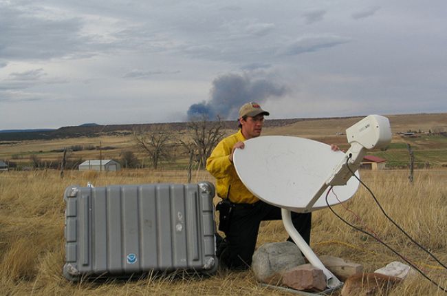
Radar (radio detection and ranging) has become an important tool for observing and predicting the weather. Radar was invented and developed in Britain and the U.S. at the beginning of the Second World War. It was used to detect the approach of enemy airplanes. An antenna sends out radio waves. The waves are reflected from solids or liquids in the air and received back by the antenna. The radar equipment shows the position and distance of the objects. The results are shown on a screen. The screen is similar to the screen of a television or a computer monitor. Weather radar can show the locations of areas of precipitation very clearly. The radar images are also able to show the intensity of the precipitation.
Satellites were first put into orbit in the 1970s. Satellites with cameras have been used to get images of the Earth's weather from space. Satellites are especially good at showing cloud cover. Photographs of cloud cover are not the only advantages of satellites. Special instruments are mounted on the satellites. They can measure the temperature of the Earth's surface. The most useful satellites are ones with orbits adjusted so that the speed of the satellite is the same as the speed of rotation of the Earth. Then the satellite stays in the same place overhead.


