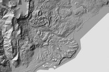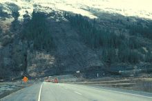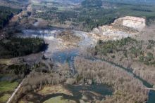
"Landslides can and do occur in every state and territory of the U.S.; however, the type, severity and frequency of landslide activity varies from place to place, depending on the terrain, geology, and climate. Major storms have caused major or widespread landslides in Washington state, Oregon, California, Colorado, Idaho, Hawaii, Virginia, Ohio, Pennsylvania, Tennessee, North Carolina, Puerto Rico, and elsewhere. Rapid snowmelt has caused landslides in Colorado, Nevada, Utah, Wyoming, and Washington State, as well as other mountainous states. The Appalachian Mountains, the Rocky Mountains, the Pacific Coastal Ranges, and some parts of Alaska and Hawaii have moderate to severe landslide problems. Any area of weak or fractured materials resting on a steep slope can and will likely experience landslides.
Although the physical causes of many landslides cannot be removed, geologic investigations, good engineering practices, and effective enforcement of land-use management regulations can reduce landslide hazards."
Learn More
- Landslide Hazards Program (Website), U.S. Geological Survey
USGS homepage on landslides hazards in the U.S., including basic information, monitoring and research details, and educational resources.
- Landslide Overview Map of the Conterminous United States (Website) U.S. Geological Survey
Overview map of the conterminous United States, showing areas with large numbers of historical landslides and areas susceptible to future landslides.
- Identifying and Reducing Landslide Risk (Webinar) American Geosciences Institute
2019 webinar providing an overview of landslide risk assessment, mapping, and impacts in the United States, and featuring case studies of work done in and with communities to reduce landslide risk.


