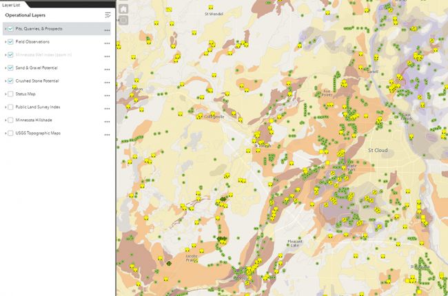
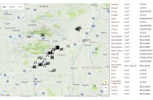
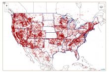
The Minnesota Department of Natural Resources' Aggregate Resources Web Map provides a large amount of information on aggregates in Minnesota. The map includes:
- Pits, quarries, and prospects
- Sand and gravel potential
- Crushed stone potential
- Field observations and test holes
- Status of the aggregate mapping program for each county
- Hillshade imagery and topographic maps for the state
Users can zoom in on different sections of the map and click on features for more information, including details of sand, gravel, and crushed stone potential, links to project pages and data, and instructions on how to download the data for further use and analysis.
Click here to access the interactive map.
Source: Minnesota Department of Natural Resources

