Building Resiliency to Natural Hazards
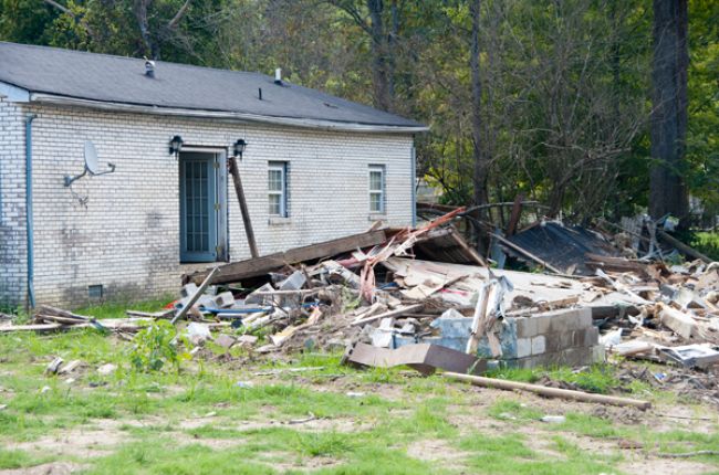
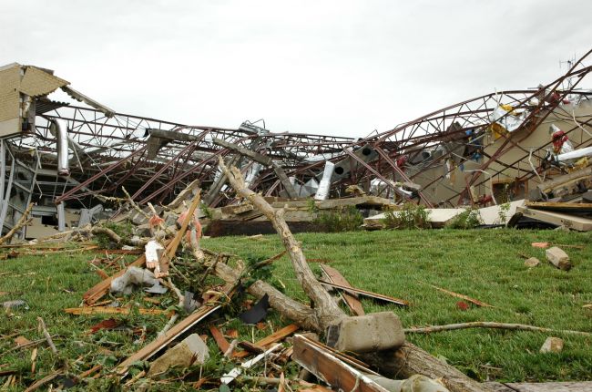
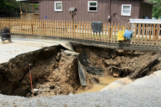
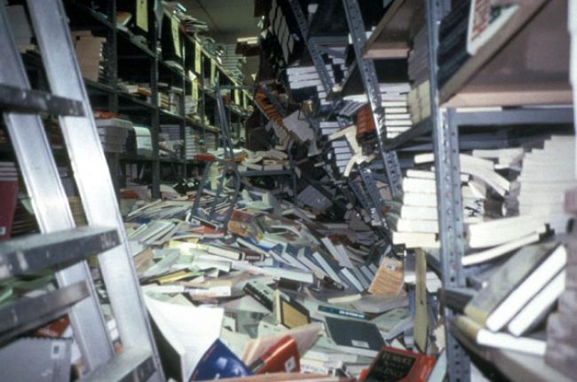
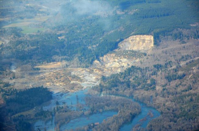
Natural hazards affect every state in the nation. Earthquakes, volcanoes, landslides, sinkholes, wildfires, tornadoes, hurricanes, floods, extreme heat and cold, and drought, among others, result in billions of dollars in annualized losses to the United States. These hazards threaten lives and property, disrupt services, damage infrastructure, and weaken economies. A thriving nation requires resilient communities that help protect citizens from economic and social disruptions related to natural hazards.
Geoscientists help communities identify, mitigate, prepare for, respond to, and recover from natural disasters. In coordination with engineers, social scientists, public safety professionals, and emergency managers, geoscientists conduct natural hazards research, monitoring, training, education, and public outreach to create an integrated approach to developing resilient communities.
To minimize the potential impact of natural hazards:
Encourage basic and applied research to strengthen community resilience. Geoscientists study the links between natural hazards and Earth processes and the ways natural hazards impact society. They identify hazard-prone areas through geologic mapping, seismic monitoring, and other investigations.
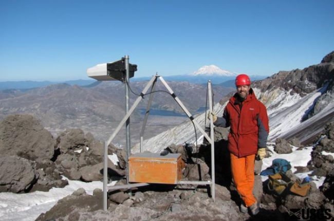
Prioritize natural hazard monitoring. Geospatial tools such as satellites, lidar, seismic networks, and stream gauges help geoscientists collect data to assist in disaster assessment and response and develop better models, forecasts, and warnings.
Support communication of the risks and vulnerabilities associated with natural hazards to the public. Geoscientists translate technical data into actionable information, helping to include science in mitigation, preparedness, response, and recovery efforts.
Mitigate hazard impacts on people, buildings, and infrastructure. Geoscience research informs transportation planning, land-use practices, and building codes, leading to more resilient communities.
Learn more
- Geoscience for America's Critical Needs: Invitation to a National Policy Dialogue (Webpage and Report), American Geosciences Institute
This document outlines high-level actions to address major policy issues where the geosciences play a significant role. Download the report
- Critical Issues: Hazards (Webpage), American Geosciences Institute
Overview of the geoscience behind natural hazards issues.
- Critical Issues Webinar: Communicating Cascadia's Earthquake Risk (Recorded Webinar), American Geosciences Institute
A discussion of the risks associated with the Cascadia subduction zone in the Pacific Northwest and the implications for policy and resiliency efforts.

