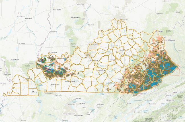
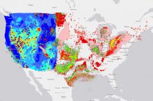
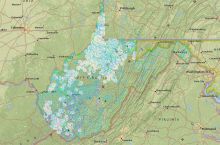
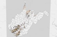
The Kentucky Mine Mapping Information System is produced by the Kentucky Energy and Environment Cabinet to allow users to access maps of coal mines and mined out areas in Kentucky. Users can search by company name, seam name, or state file number (SFN). For each map, overview information is provided where available (map year, mine status, mine owner, mine type, seam thickness, etc.), and users are directed to the map. Users can also overlay information on oil and gas activity on the map.
More information on the Mine Mapping Information System can be found on a dedicated FAQ page.
Click here to access the interactive atlas.

